 Old Cumbria Gazetteer
 |
 |
|
| Wasdale Head Hall Farm, Eskdale | ||
| Wasdale Head Hall Farm | ||
| locality:- | Wasdale | |
| civil parish:- | Eskdale (formerly Cumberland) | |
| county:- | Cumbria | |
| locality type:- | buildings | |
| coordinates:- | NY18040681 | |
| 1Km square:- | NY1806 | |
| 10Km square:- | NY10 | |
|
|
||
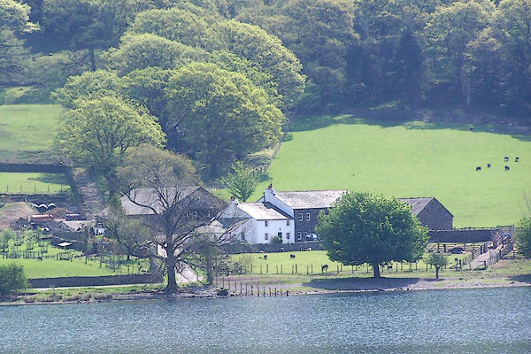 BMB40.jpg (taken 11.5.2006) |
||
|
|
||
| evidence:- | old map:- OS County Series (Cmd 74) placename:- Wasdale Hall |
|
| source data:- | Maps, County Series maps of Great Britain, scales 6 and 25
inches to 1 mile, published by the Ordnance Survey, Southampton,
Hampshire, from about 1863 to 1948. "Wasdale Hall" |
|
|
|
||
 Lakes Guides menu.