 Old Cumbria Gazetteer
 |
 |
|
| Wanthwaite Crags, St John's Castlerigg etc | ||
| Wanthwaite Crags | ||
| locality:- | Wanthwaite | |
| civil parish:- | St John's Castlerigg and Wythburn (formerly Cumberland) | |
| county:- | Cumbria | |
| locality type:- | rocks | |
| coordinates:- | NY32432220 (etc) | |
| 1Km square:- | NY3222 | |
| 10Km square:- | NY32 | |
|
|
||
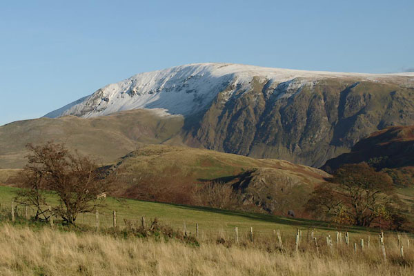 BXP69.jpg (taken 4.11.2012) 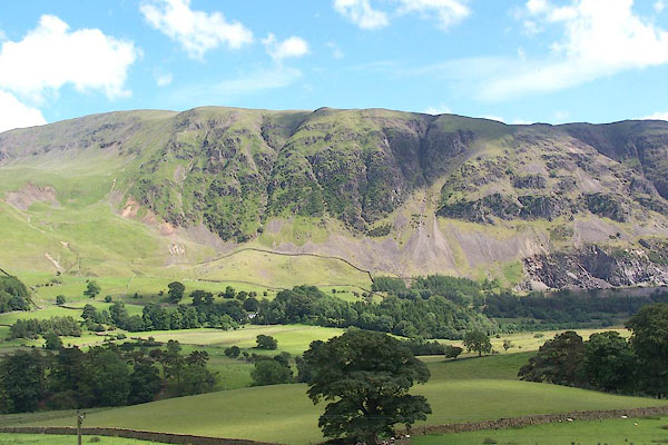 BMH38.jpg (taken 29.6.2006) |
||
|
|
||
| evidence:- | old map:- OS County Series (Cmd 64 8) placename:- Wanthwaite Crags |
|
| source data:- | Maps, County Series maps of Great Britain, scales 6 and 25
inches to 1 mile, published by the Ordnance Survey, Southampton,
Hampshire, from about 1863 to 1948. |
|
|
|
||
 Lakes Guides menu.