 Old Cumbria Gazetteer
 |
 |
|
| Wallace Field, Wetheral | ||
| Wallace Field | ||
| civil parish:- | Wetheral (formerly Cumberland) | |
| county:- | Cumbria | |
| locality type:- | buildings | |
| coordinates:- | NY50484909 | |
| 1Km square:- | NY5049 | |
| 10Km square:- | NY54 | |
|
|
||
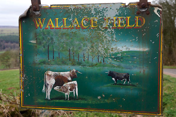 CCR21.jpg Sign. (taken 20.3.2015) |
||
|
|
||
| evidence:- | old map:- OS County Series (Cmd 31 8) placename:- Wallacefield |
|
| source data:- | Maps, County Series maps of Great Britain, scales 6 and 25
inches to 1 mile, published by the Ordnance Survey, Southampton,
Hampshire, from about 1863 to 1948. |
|
|
|
||
 Lakes Guides menu.