 |
 |
   |
|
|
|
Unthank |
| civil parish:- |
Dalston (formerly Cumberland) |
| civil parish:- |
St Cuthbert Without (formerly Cumberland) |
| county:- |
Cumbria |
| locality type:- |
locality |
| locality type:- |
buildings |
| coordinates:- |
NY39314864 (etc) |
| 1Km square:- |
NY3948 |
| 10Km square:- |
NY34 |
|
|
| evidence:- |
old map:- Donald 1774 (Cmd)
placename:- Unthank
|
| source data:- |
Map, hand coloured engraving, 3x2 sheets, The County of Cumberland, scale about 1
inch to 1 mile, by Thomas Donald, engraved and published by Joseph Hodskinson, 29
Arundel Street, Strand, London, 1774.
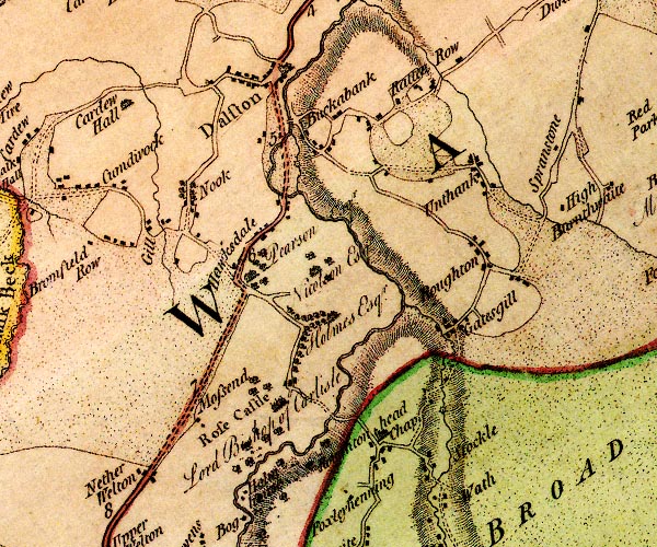
D4NY34NE.jpg
"Unthank"
block or blocks, labelled in lowercase; a hamlet or just a house
item:- Carlisle Library : Map 2
Image © Carlisle Library |
|
|
| places:- |
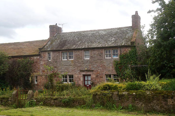 |
NY44753640 Crown Farm (Skelton) L |
|
|
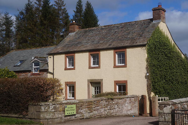 |
NY44383650 Glen House (Skelton) |
|
|
 |
NY4535 Hutton Soil (Skelton) suggested |
|
|
 |
NY39474872 Low Pow (St Cuthbert Without) gone |
|
|
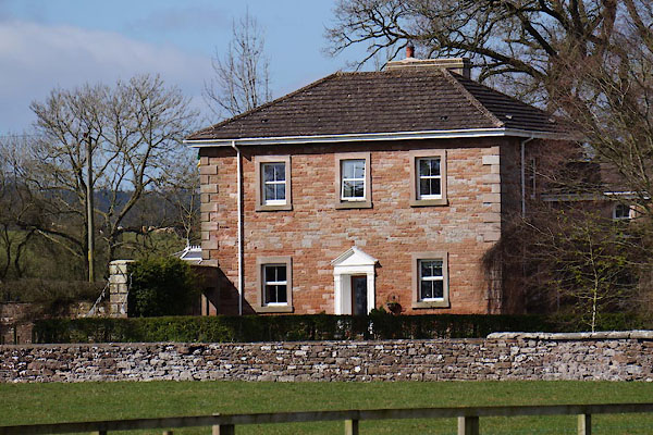 |
NY44163637 Riggdyke (Skelton) |
|
|
 |
NY39224860 Town Head Farm (Dalston) L |
|
|
 |
NY44313645 Townhead (Skelton) |
|
|
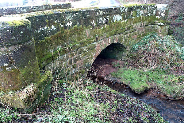 |
NY61154041 Unthank Bridge (Glassonby) |
|
|
 |
NY39374868 Unthank Bridge (Dalston / St Cuthbert Without) |
|
|
 |
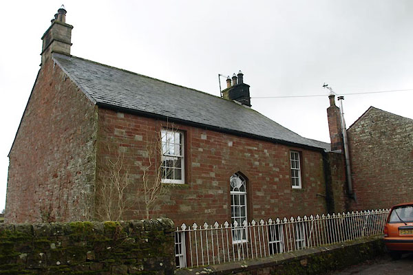
NY45843549 Unthank End (Skelton) |
|
|
 |
NY61004046 Unthank Farm (Glassonby) L |
|
|
 |
NY45303597 Unthank Farm (Skelton) L out of sight |
|
|
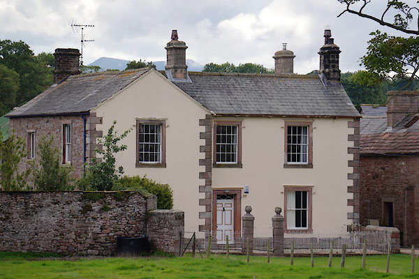 |
NY45223602 Unthank Hall (Skelton) L |
|
|
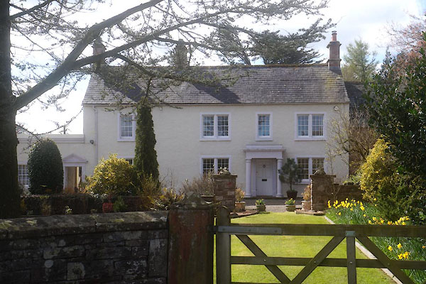 |
NY44433642 Unthank House (Skelton) L |
|
|
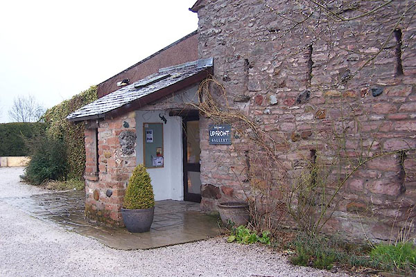 |
NY45323595 Upfront Gallery (Skelton) |
|


