 |
 |
|
|
|
|
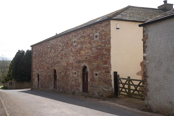
Ullock |
| civil parish:- |
Above Derwent (formerly Cumberland) |
| county:- |
Cumbria |
| locality type:- |
locality |
| locality type:- |
buildings |
| coordinates:- |
NY24472304 (etc) |
| 1Km square:- |
NY2423 |
| 10Km square:- |
NY22 |
|
|
| evidence:- |
old map:- OS County Series (Cmd 64 5)
placename:- Ullock
|
| source data:- |
Maps, County Series maps of Great Britain, scales 6 and 25
inches to 1 mile, published by the Ordnance Survey, Southampton,
Hampshire, from about 1863 to 1948.
|
|
|
| evidence:- |
old map:- Donald 1774 (Cmd)
placename:- Ullock
|
| source data:- |
Map, hand coloured engraving, 3x2 sheets, The County of Cumberland, scale about 1
inch to 1 mile, by Thomas Donald, engraved and published by Joseph Hodskinson, 29
Arundel Street, Strand, London, 1774.
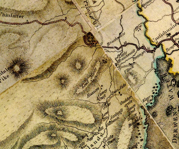
D4NY22SW.jpg
"Ullock"
block or blocks, labelled in lowercase; a hamlet or just a house
item:- Carlisle Library : Map 2
Image © Carlisle Library |
|
|
| evidence:- |
descriptive text:- West 1778 (11th edn 1821)
|
| source data:- |
Guide book, A Guide to the Lakes, by Thomas West, published by
William Pennington, Kendal, Cumbria once Westmorland, and in
London, 1778 to 1821.
 goto source goto source
Page 127:- "... Its [church at Bassenthwaite] back-ground is gloomy Ullock, a descendant hill
of parent Skiddaw, robed in purple heath, trimmed with soft verdure. ..."
|
|
|
| evidence:- |
old text:- Clarke 1787
placename:- Ullock
|
| source data:- |
Guide book, A Survey of the Lakes of Cumberland, Westmorland,
and Lancashire, written and published by James Clarke, Penrith,
Cumberland, and in London etc, 1787; published 1787-93.
goto source
Page 91:- "..."
"Hard by is Ullock; the seat of J. Radcliff, Esq; a descendant of the Derwentwater
family; he is the last that I know of in this country, and has no children; so that
the name may probably become extinct; for James the last Earl of Derwentwater, (who
was beheaded in 1716,) had only one son and one daughter; the son died unmarried,
and the daughter married Lord Petre."
|
|
|
| evidence:- |
old map:- Garnett 1850s-60s H
placename:- Ullock
|
| source data:- |
Map of the English Lakes, in Cumberland, Westmorland and
Lancashire, scale about 3.5 miles to 1 inch, published by John
Garnett, Windermere, Westmorland, 1850s-60s.
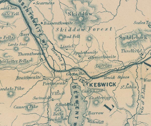
GAR2NY22.jpg
"Ullock"
blocks, settlement
item:- JandMN : 82.1
Image © see bottom of page
|
|
|
| places:- |
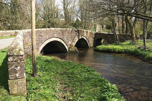 |
NY07412392 bridge, Ullock (Dean) |
|
|
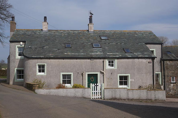 |
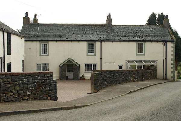
NY07752417 Croft House (Dean) L |
|
|
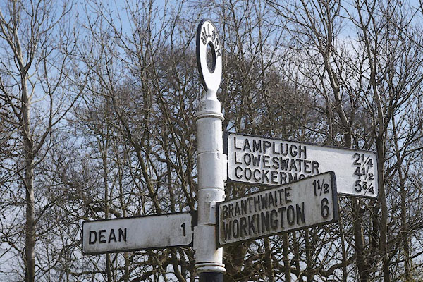 |
NY07702398 fingerpost, Ullock (Dean) |
|
|
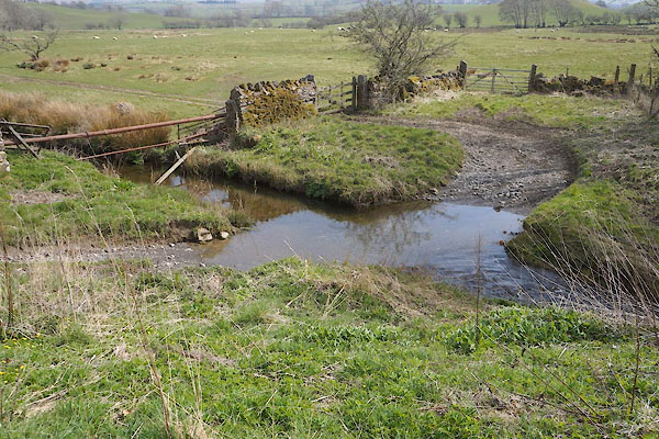 |
NY07762404 ford, Ullock (Dean) |
|
|
|
NY08052378 Foulknott Hill (Dean) |
|
|
|
NY07562403 Hilltop (Dean) |
|
|
|
NY07432386 mill, Ullock (Dean) |
|
|
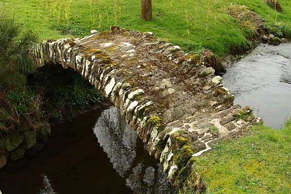 |
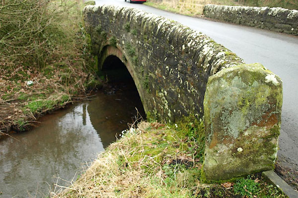
NY07642393 packhorse bridge, Ullock (Dean) |
|
|
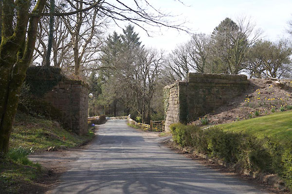 |
NY07452393 railway bridge, Ullock (Dean) |
|
|
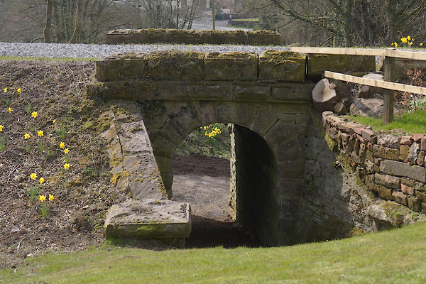 |
NY07432396 railway bridge, Ullock (2) (Dean) |
|
|
 |
NY07702396 Smithy Bridge (Dean / Lamplugh) |
|
|
|
NY07782405 stepping stones, Ullock (Dean) once |
|
|
|
NY07162426 Ullock Junction (Dean) |
|
|
 |
NY07742412 Ullock Mains (Dean) |
|
|
|
NY24912301 Ullock Moss (Above Derwent) |
|
|
|
NY07492382 Ullock Station (Dean) |
|
|
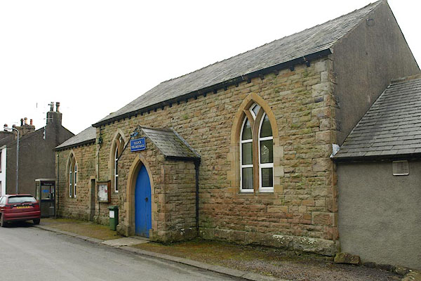 |
NY07652394 Ullock Village Hall (Dean) |
|
|
|
NY24512304 viewpoint, Ullock (Above Derwent) |
|
|
 |
NY07712411 barn, Ullock (2) (Dean) L |
|
