 |
 |
|
|
|
|
Ullermire |
| civil parish:- |
Hethersgill (formerly Cumberland) |
| county:- |
Cumbria |
| locality type:- |
locality |
| locality type:- |
buildings |
| coordinates:- |
NY46496680 |
| 1Km square:- |
NY4666 |
| 10Km square:- |
NY46 |
|
|
| evidence:- |
old map:- OS County Series (Cmd 11 10)
placename:- Ullermire
|
| source data:- |
Maps, County Series maps of Great Britain, scales 6 and 25
inches to 1 mile, published by the Ordnance Survey, Southampton,
Hampshire, from about 1863 to 1948.
|
|
|
| places:- |
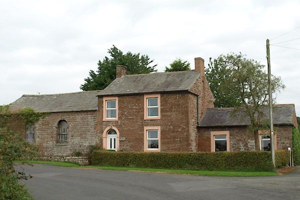 |
NY46516681 Chapel House (Hethersgill) |
|
|
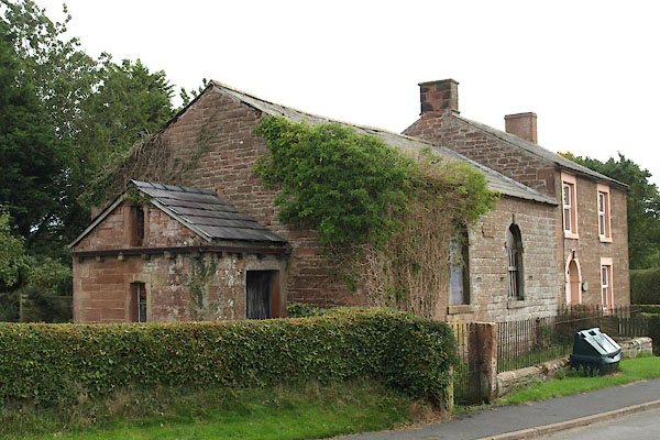 |
NY46506682 chapel, Ullermire (Hethersgill) |
|
|
 |
NY46466685 Nether House (Hethersgill) |
|
