 |
 |
   |
|
|
|
Townhead |
| locality:- |
Ousby |
| civil parish:- |
Ousby (formerly Cumberland) |
| county:- |
Cumbria |
| locality type:- |
locality |
| locality type:- |
buildings |
| coordinates:- |
NY63463404 (etc) |
| 1Km square:- |
NY6334 |
| 10Km square:- |
NY63 |
|
|
| evidence:- |
old map:- Donald 1774 (Cmd)
placename:- Townhead
|
| source data:- |
Map, hand coloured engraving, 3x2 sheets, The County of Cumberland, scale about 1
inch to 1 mile, by Thomas Donald, engraved and published by Joseph Hodskinson, 29
Arundel Street, Strand, London, 1774.
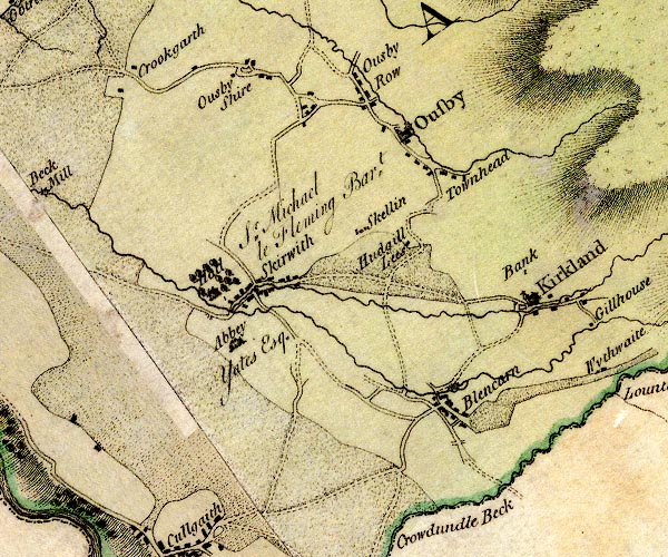
D4NY63SW.jpg
"Townhead"
block or blocks, labelled in lowercase; a hamlet or just a house
item:- Carlisle Library : Map 2
Image © Carlisle Library |
|
|
| places:- |
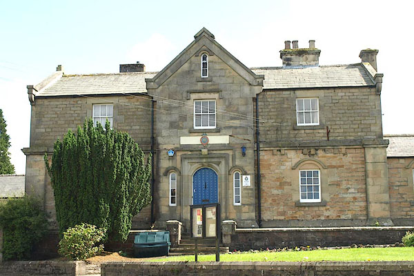 |
NY72024628 Alston Police Station (Alston Moor) |
|
|
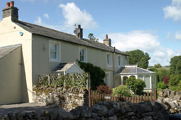 |
NY32103926 Bridge House (Caldbeck) |
|
|
 |
NY50973068 Crudmire (Penrith) gone |
|
|
 |
NY51083082 Drove and Anchor Inn (Penrith) |
|
|
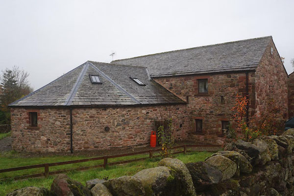 |
NY63263419 Gin Case Barn (Ousby) L |
|
|
 |
NY51043085 Grey Bull Inn (Penrith) |
|
|
 |
NY54603933 Hall Well (Lazonby) |
|
|
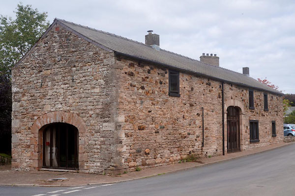 |
NY32383976 Harkness Barn (Caldbeck) L |
|
|
 |
NY55943180 Home Farm (Langwathby) |
|
|
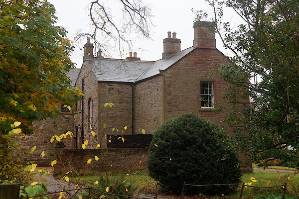 |
NY63203422 Old Rectory (Ousby) |
|
|
 |
NY51133058 Page Hall (Penrith) |
|
|
 |
NY50993104 Pennyhill (Penrith) gone? |
|
|
 |
NY51023075 Lark Lane (Penrith) |
|
|
 |
NY51013085 Robinson Street (Penrith) |
|
|
 |
NY51063093 Scotland Road (Penrith) |
|
|
 |
NY51123065 Skinner Street (Penrith) |
|
|
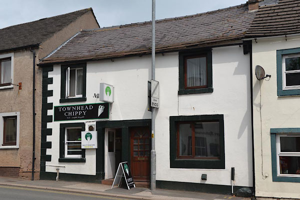 |
NY51233058 Townhead Chippy (Penrith) |
|
|
 |
NY32183921 pinfold, Caldbeck (Caldbeck) gone |
|
|
 |
NY51093103 Sportsman Inn (Penrith) |
|
|
 |
NY55633160 Townhead Wood (Langwathby) |
|
|
 |
NY51815783 Townhead Wood (Hayton) |
|
|
 |
NY51113039 TPO apparatus, Penrith (Penrith) |
|
|
 |
NY51093094 Turk's Head Inn (Penrith) |
|
|
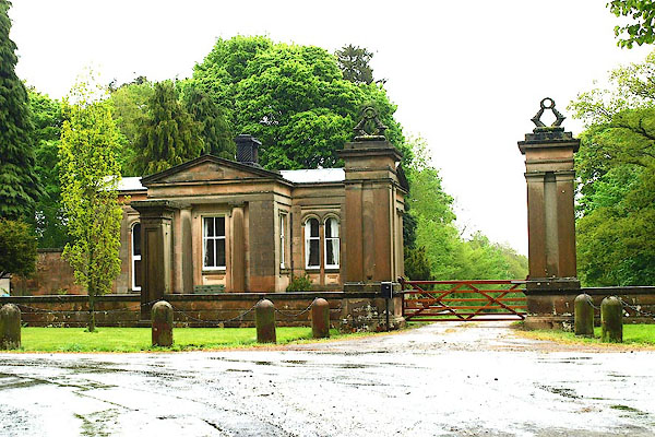 |
NY55733158 West Lodge (Langwathby) L |
|
|
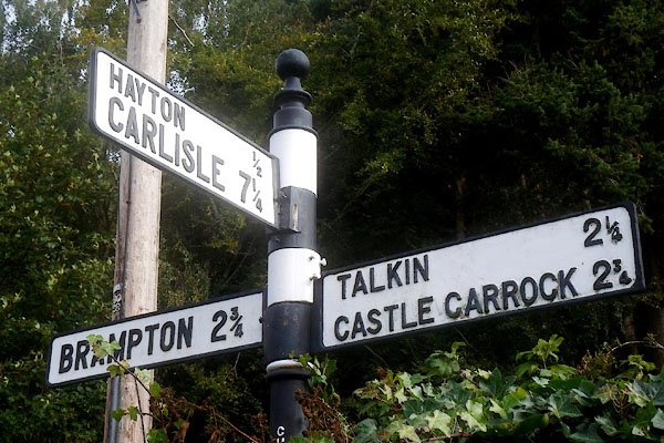 |
NY51635776 fingerpost, Hayton (4) (Hayton) |
|
|
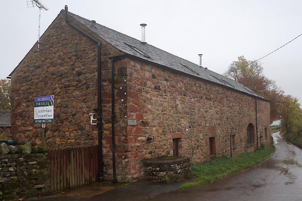 |
NY63253421 Rayson Hall Barns (Ousby) L |
|
|
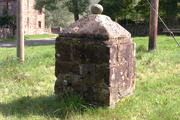 |
NY73492071 pump, Hilton (2) (Murton) L |
|


