 Old Cumbria Gazetteer
 |
 |
|
| Throp, Upper Denton | ||
| out of sign | ||
| civil parish:- | Upper Denton (formerly Cumberland) | |
| county:- | Cumbria | |
| locality type:- | buildings | |
| coordinates:- | NY62776563 | |
| 1Km square:- | NY6265 | |
| 10Km square:- | NY66 | |
|
|
||
| evidence:- | probably old map:- Donald 1774 (Cmd) placename:- Thorn |
|
| source data:- | Map, hand coloured engraving, 3x2 sheets, The County of Cumberland, scale about 1
inch to 1 mile, by Thomas Donald, engraved and published by Joseph Hodskinson, 29
Arundel Street, Strand, London, 1774.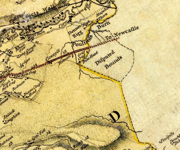 D4NY66SW.jpg "Thorn" block or blocks, labelled in lowercase; a hamlet or just a house item:- Carlisle Library : Map 2 Image © Carlisle Library |
|
|
|
||
| evidence:- | database:- Listed Buildings 2010 placename:- Throp item:- date stone (1830) |
|
| source data:- | courtesy of English Heritage "THROP AND ADJOINING OUTBUILDINGS / / / UPPER DENTON / CARLISLE / CUMBRIA / II / 78077 / NY6276965624" |
|
|
|
||
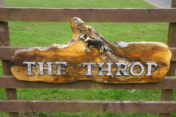 CCZ11.jpg Sign. (taken 8.5.2015) |
||
|
|
||
 Lakes Guides menu.