 Old Cumbria Gazetteer
 |
 |
|
| Latterbarrow, Crook | ||
| Latterbarrow | ||
| civil parish:- | Crook (formerly Westmorland) | |
| county:- | Cumbria | |
| locality type:- | buildings | |
| coordinates:- | SD43109398 | |
| 1Km square:- | SD4393 | |
| 10Km square:- | SD49 | |
|
|
||
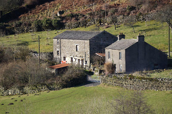 CEN99.jpg (taken 10.2.2016) 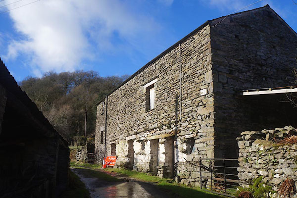 CEO01.jpg Barn. (taken 10.2.2016) |
||
|
|
||
| evidence:- | old map:- OS County Series (Wmd 37 4) placename:- Latterbarrow |
|
| source data:- | Maps, County Series maps of Great Britain, scales 6 and 25
inches to 1 mile, published by the Ordnance Survey, Southampton,
Hampshire, from about 1863 to 1948. |
|
|
|
||
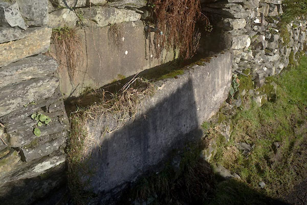 CEO02.jpg Water trough. (taken 10.2.2016) |
||
|
|
||
 Lakes Guides menu.