 Old Cumbria Gazetteer
 |
 |
|
| Thistlebottom, Boltons | ||
| Thistlebottom | ||
| civil parish:- | Boltons (formerly Cumberland) | |
| county:- | Cumbria | |
| locality type:- | buildings | |
| coordinates:- | NY28803913 | |
| 1Km square:- | NY2839 | |
| 10Km square:- | NY23 | |
|
|
||
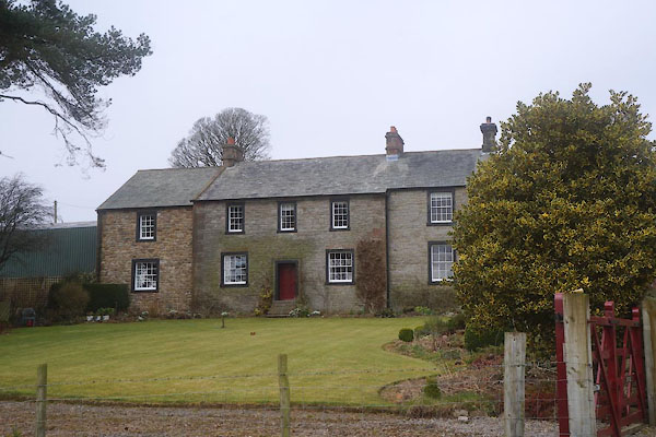 CET02.jpg (taken 18.3.2016) |
||
|
|
||
| evidence:- | old map:- OS County Series (Cmd 37 15) placename:- Thistlebottom |
|
| source data:- | Maps, County Series maps of Great Britain, scales 6 and 25
inches to 1 mile, published by the Ordnance Survey, Southampton,
Hampshire, from about 1863 to 1948. |
|
|
|
||
| evidence:- | database:- Listed Buildings 2010 placename:- Thistlebottom |
|
| source data:- | courtesy of English Heritage "THISTLEBOTTOM / / / BOLTONS / ALLERDALE / CUMBRIA / II / 72329 / NY2878839103" |
|
|
|
||
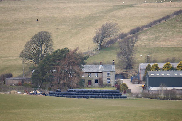 CET01.jpg (taken 18.3.2016) |
||
|
|
||
 Lakes Guides menu.