 Old Cumbria Gazetteer
 |
 |
|
| Tewitfield Locks, Lancaster Canal | ||
| Tewitfield Locks | ||
| site name:- | Lancaster Canal | |
| locality:- | Tewitfield | |
| county:- | Lancashire | |
| locality type:- | canal lock | |
| coordinates:- | SD51927472 (etc) | |
| 1Km square:- | SD5174 | |
| 10Km square:- | SD57 | |
|
|
||
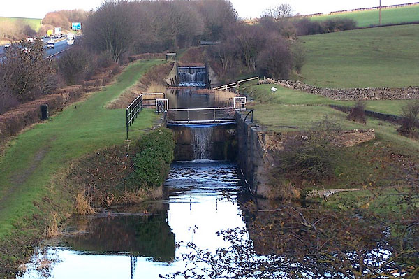 BLL08.jpg From the bottom of the flight. (taken 6.12.2005) 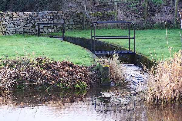 BLL13.jpg Canal feeder. (taken 6.12.2005) |
||
|
|
||
| evidence:- | old map:- West 1784 map |
|
| source data:- | Map, hand coloured engraving, A Map of the Lakes in Cumberland,
Westmorland and Lancashire, scale about 3.5 miles to 1 inch,
engraved by Paas, 53 Holborn, London, about 1784.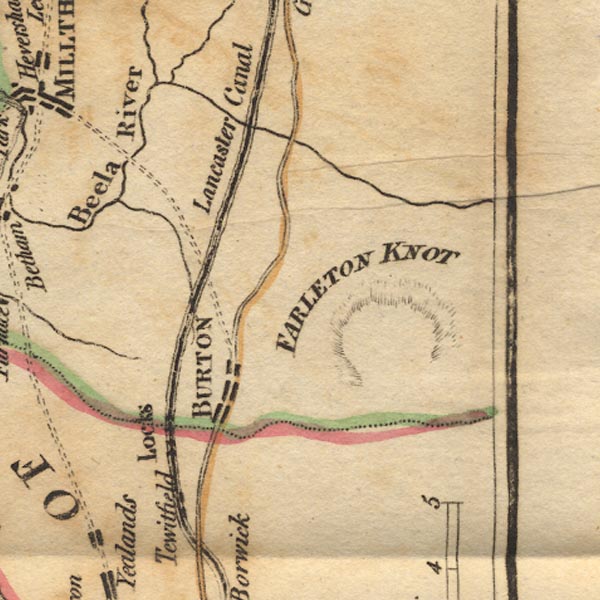 Ws02SD57.jpg "Locks" The locks are indicated by a series of arrows drawn across the canal. item:- Armitt Library : A1221.1 Image © see bottom of page |
|
|
|
||
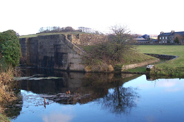 BLL09.jpg Bottom lock; run round overflow. (taken 6.12.2005) 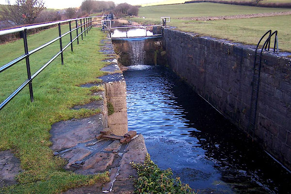 BLL10.jpg Bottom lock; ironwork at quoin. (taken 6.12.2005) 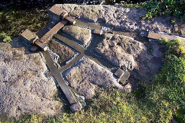 BLL11.jpg Bottom lock; ironwork at quoin. (taken 6.12.2005) 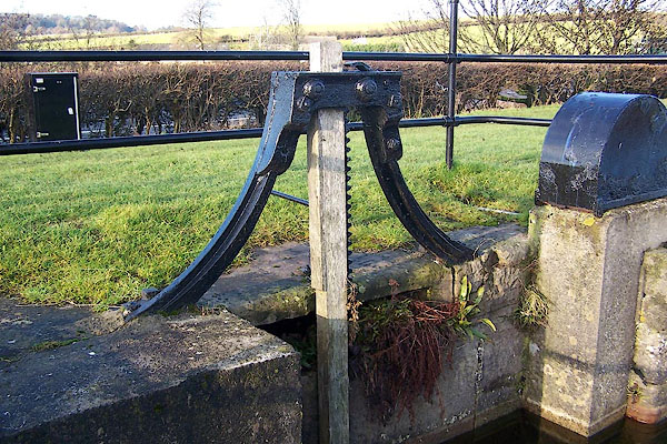 BLL12.jpg Bottom lock; sluice gear. (taken 6.12.2005) |
||
|
|
||
| hearsay:- |
Flight of 8 locks. |
|
|
|
||
 Lakes Guides menu.