 Old Cumbria Gazetteer
 |
 |
|
| Storth, Beetham | ||
| Storth | ||
| civil parish:- | Beetham (formerly Westmorland) | |
| county:- | Cumbria | |
| locality type:- | buildings | |
| coordinates:- | SD475803 | |
| 1Km square:- | SD4780 | |
| 10Km square:- | SD48 | |
|
|
||
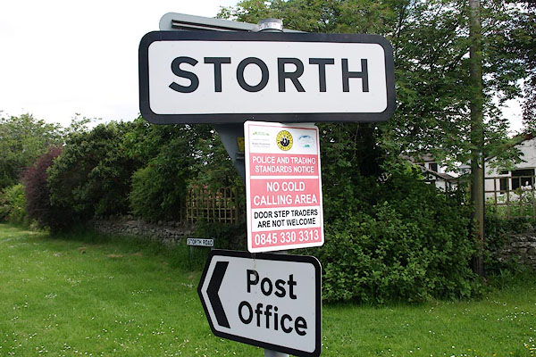 BQS49.jpg Village sign, plus notices, on the back of a give way sign. (taken 5.6.2009) 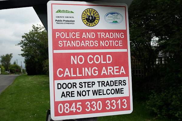 BQS50.jpg Warning sign for cold callers etc. 'No hawkers'! (taken 5.6.2009) |
||
|
|
||
| evidence:- | old map:- OS County Series (Wmd 46 6) placename:- Storth |
|
| source data:- | Maps, County Series maps of Great Britain, scales 6 and 25
inches to 1 mile, published by the Ordnance Survey, Southampton,
Hampshire, from about 1863 to 1948. |
|
|
|
||
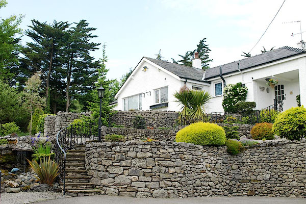 BQS41.jpg Blossom Hill, (taken 5.6.2009) 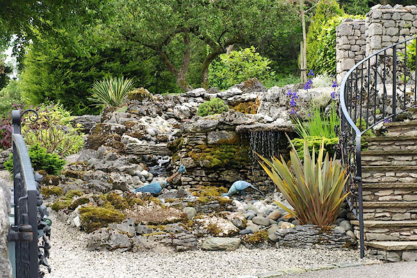 BQS42.jpg Blossom Hill, garden. (taken 5.6.2009) 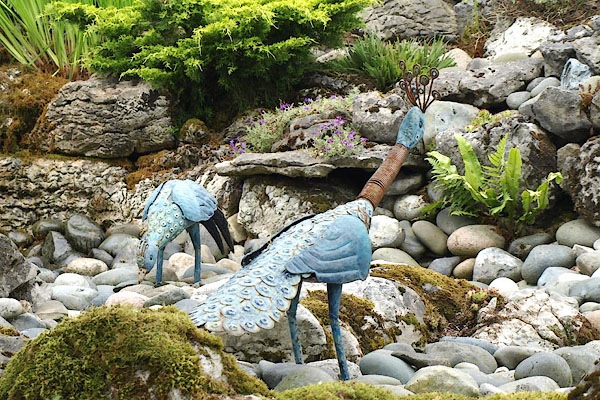 BQS43.jpg Blossom Hill, garden sculptures. (taken 5.6.2009) 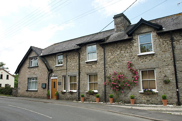 BQS45.jpg Old School House (taken 5.6.2009) |
||
|
|
||
 Lakes Guides menu.