 Old Cumbria Gazetteer
 |
 |
|
| Storth End, Preston Richard | ||
| Storth End | ||
| civil parish:- | Preston Richard (formerly Westmorland) | |
| county:- | Cumbria | |
| locality type:- | buildings | |
| coordinates:- | SD53408695 | |
| 1Km square:- | SD5386 | |
| 10Km square:- | SD58 | |
|
|
||
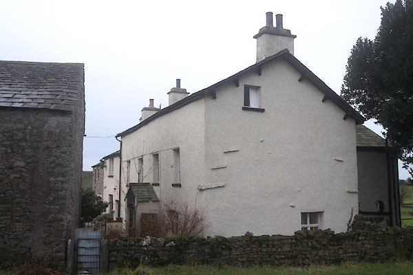 CEL94.jpg (taken 1.1.2016) |
||
|
|
||
| evidence:- | old map:- OS County Series (Wmd 43 1) placename:- Storth End |
|
| source data:- | Maps, County Series maps of Great Britain, scales 6 and 25
inches to 1 mile, published by the Ordnance Survey, Southampton,
Hampshire, from about 1863 to 1948. |
|
|
|
||
| evidence:- | database:- Listed Buildings 2010 placename:- Storth End Farm item:- spice cupboard |
|
| source data:- | courtesy of English Heritage "STORTH END FARMHOUSE NEAR SUMMERLANDS / / A65 / PRESTON RICHARD / SOUTH LAKELAND / CUMBRIA / II / 76522 / SD5340386955" |
|
|
|
||
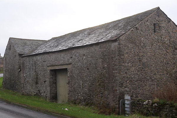 CEL95.jpg Barn. (taken 1.1.2016) |
||
|
|
||
 Lakes Guides menu.