 Old Cumbria Gazetteer
 |
 |
|
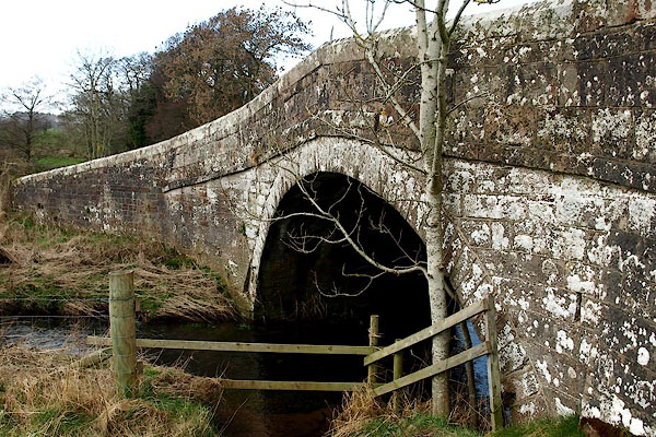
| Storch Bridge, Greystoke | ||
| Storch Bridge | ||
| site name:- | Petteril, River | |
| civil parish:- | Greystoke (formerly Cumberland) | |
| civil parish:- | Dacre (formerly Cumberland) | |
| county:- | Cumbria | |
| locality type:- | bridge | |
| coordinates:- | NY44543115 | |
| 1Km square:- | NY4431 | |
| 10Km square:- | NY43 | |
|
|
||
 BQG05.jpg (taken 14.3.2009) 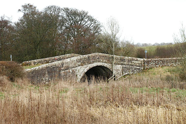 BQG04.jpg (taken 14.3.2009) |
||
|
|
||
| evidence:- | old map:- Donald 1774 (Cmd) |
|
| source data:- | Map, hand coloured engraving, 3x2 sheets, The County of Cumberland, scale about 1
inch to 1 mile, by Thomas Donald, engraved and published by Joseph Hodskinson, 29
Arundel Street, Strand, London, 1774.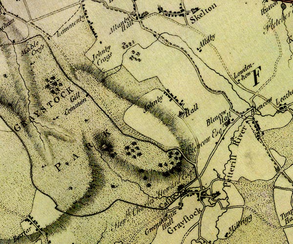 D4NY43SW.jpg double line across a river; a bridge over the Petteril item:- Carlisle Library : Map 2 Image © Carlisle Library |
|
|
|
||
| evidence:- | old map:- Bell 1892 placename:- Storch Bridge |
|
| source data:- | Map, colour lithograph, Road Map of Cumberland, by George Joseph
Bell, scale about 2.5 miles to 1 inch, printed by Charles
Thurnam and Sons, Carlisle, Cumberland, 1892.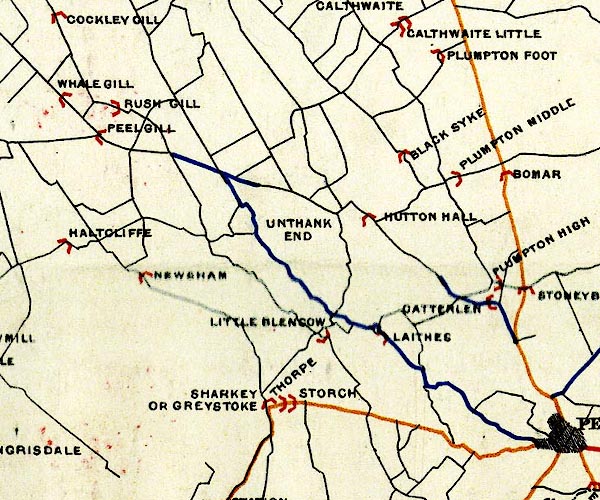 BEL9NY43.jpg "STORCH" bridge symbol Road map of Cumberland showing County Bridges item:- Carlisle Library : Map 38 Image © Carlisle Library |
|
|
|
||
| evidence:- | database:- Listed Buildings 2010 placename:- Storch Bridge |
|
| source data:- | courtesy of English Heritage "STORCH BRIDGE / / / DACRE / EDEN / CUMBRIA / II / 73780 / NY4454431155" |
|
| source data:- | courtesy of English Heritage "Roadbridge, now bypassed. Late C18 or early C19. Dressed pink sandstone. Segmental-arched hump-back bridge, under solid chamfered parapet. Central cast iron plate is inscribed PARISH OF DACRE/PARISH OF GREYSTOKE. This bridge lies partly in Greystoke C.P." |
|
|
|
||
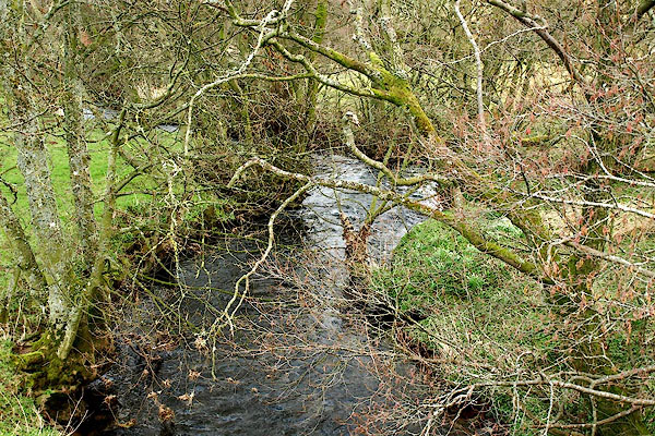 BQG06.jpg View of river. (taken 14.3.2009) |
||
|
|
||
 Lakes Guides menu.