


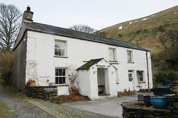
BSB33.jpg (taken 3.2.2010)
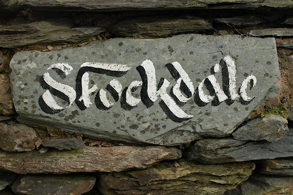
BSB34.jpg Sign near the house.
(taken 3.2.2010)
placename:- Stockdale
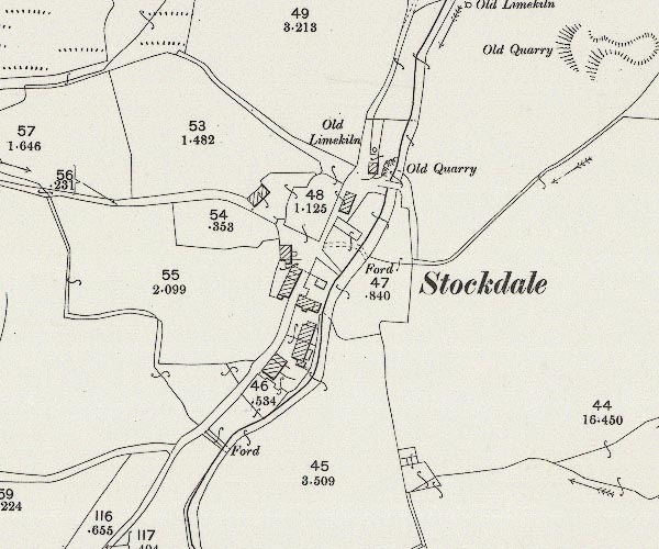
C5E002.jpg
"Stockdale"
Notice the limekiln.
placename:- Stocdale
placename:- Stockdale
placename:- Stogdale
 old parish registers (formerly )
placename:- Little London
placename:- London, Little
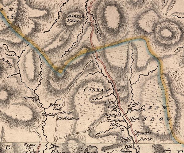
J5NY40NE.jpg
"Little London"
circle, labelled in italic lowercase text; settlement, farm, house, or hamlet?
item:- National Library of Scotland : EME.s.47
Image © National Library of Scotland
placename:- Little London
placename:- London, Little
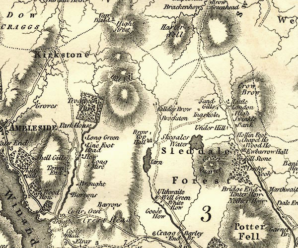
CY24NY40.jpg
"Little London"
block/s, labelled in italic lowercase; house, or hamlet
item:- JandMN : 129
Image © see bottom of page
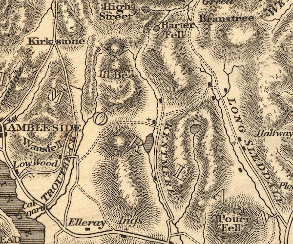
OT02NY40.jpg
item:- JandMN : 48.1
Image © see bottom of page
placename:- Stock Dale
placename:- Little London
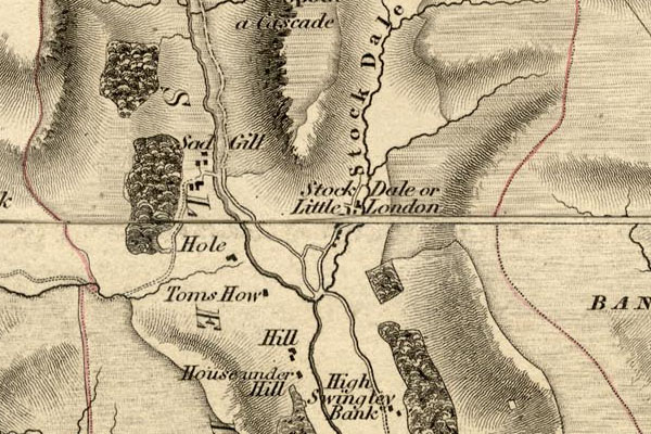
HDG6lsl3.jpg
map courtesy of Mark Cropper
"Stock Dale or Little London"
item:- private collection : 371
Image © see bottom of page
placename:- Stockdale
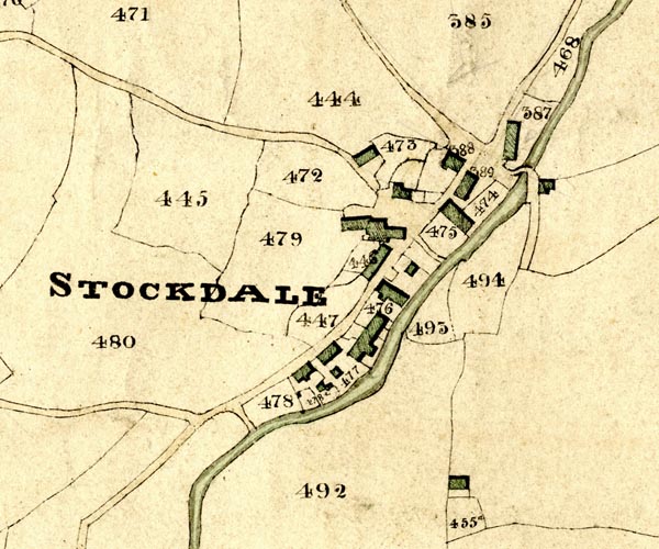
KCR202.jpg
courtesy of Mark Cropper
Plan of part of the Township of Longsleddale, Westmorland, made regarding the Kendal Corn Rent Act, ie a tithe award map, scale about 20 inches to 1 mile, Kendal, Westmorland, 1836. "STOCKDALE"
item:- private collection : 370
Image © see bottom of page
 Kendal Corn Rent Act 1836
placename:- Stockdale
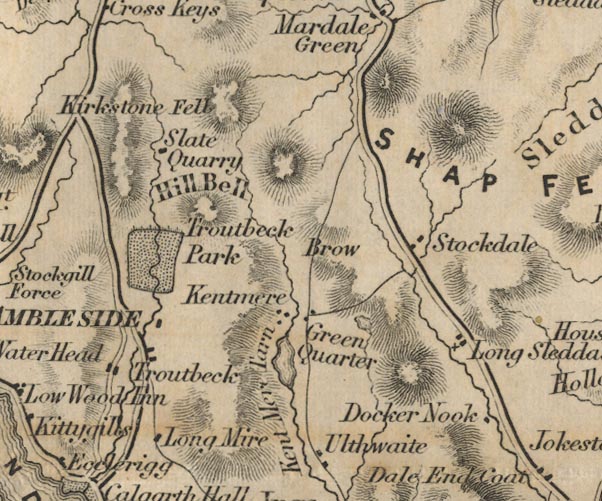
FD02NY40.jpg
"Stockdale"
item:- JandMN : 100.1
Image © see bottom of page
placename:- Stockdale
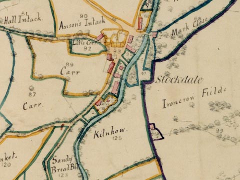
LFld0255.jpg
courtesy of Ruth Fishwick
placename:- Stockdale
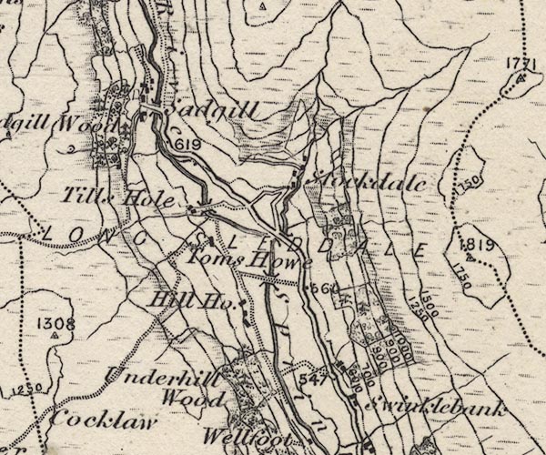
O21NY40X.jpg
, "Stockdale"
item:- JandMN : 61
Image © see bottom of page
placename:- Stockdall
placename:- Stockdallhead
placename:- Stokdall
item:- rent; biefier; housestead fire; smoke penny; turbary
"1579 : James Layburne, esq., conveys by fine to Thomas Bellingham, esq., 30 messuages &c. and lands in Sleddall, Stockdall, Swinkelbancke, Sadgyllthwaite, Sadgyllhead, Stockdallhead, Sleddallhead, Graycragg, Arnecrewe and Towside; Reg. of D. at Levens."
": Indentures of bargain and sale dated 13 March, 21 Elizabeth (1579), made between James Laburne of Skellesmerghe, esq., and Thomas Bellingham of the Myddell Temple, London, esq., reciting that in consideration of £800 the vendor conveys to the purchaser his lands, tenements, wastes, heaths, moors, turbaries &c., known as Graycrage, Arncrooe, Towsyde, Scleddalhede, situate in the townships or hamlets of Scleddall, Stokdall, Sadgill and Sadgilhed, late in the tenure of the said James Laburne, and all these messuages, tenements, lands &c. in Scleddall, Stokdall, Swynkelbanck and Arncrooe in the occupation of [the tenants named in the ensuing rental]; ib."
": Rental of tenements of Sleddale, Stockdall and Swynklebanke, lately being the inheritance of James Laiburne, esq., and now the tenements of Thomas Bellingham, esq., made 27 March, 21 Elizabeth; [endorsed] "27 March, 1579, the attornement of the tenants in Sleddal, Stockdall and Arncra and the rents of yr own confession.""
"STOCKDALL."
": Robert Shepherd tenant of one tenement in Stockdall 18s. 8d.; John Shepherd, 18s. 8d.; Edmond Tod, 18s. 8d.; and Matthew Tod, 18s. 8d.: Gressomes to Mr. N[icholas] La[yburn] 53s. 4d. by Edmund S[hepherd]; to Ja[mes] L[ayburn] £3 by John S[hepherd]; to Sir James Layburn by Edmund Tod 33s. 4d.; to Nicholas Layburn by the same Edmund Tod 33s. 4d. and to James Layburn £4 13s. 4d.; to James Layburn by Matthew Tod, £6 13s. 4d."
": The wife of William Nicholson, tenant during her widowhood of one tenement in Stockdall, rent 18s. 8d.: Gressomes to Sir James Layburn by William Nicholson, 33s. 4d.; to Nicholas Layburn by the same William Nicholson £3 13s. 4d.; to James Layburn by the said wife of William Nicholson, 40s."
": The wife of Edmund Shepherd, tenant during her widowhood, rent 18s. 8d., whereof the wife of William Harreson has for her life and payeth 5s. parcel of the said rent: Gressomes to James Layburn by Edmund Shepherd £7 6s. 8d.; to the same James Layburn by the said William Harreson's wife, 16s."
": John Potter, tenant of one tenement in Stockdall, rent, 18s. 8d.: Gressomes to Sir James Layburn by John Potter's father 33s. 4d.; to Nicholas Layburn by the same 40s.; to James Layburn by the said John Potter £6."
": Nicholas Whitehead tenant of one tenement in Stockdall, rent 18s. 8d.: Gressomes to Sir James Layburn by the father of Nicholas Whitehead, 33s. 4d.; to Nicholas Layburn by the same, 40s.; to James Layburn by the same Nicholas Whitehead, £4 13s. 4d. Total rent for Stockdale, £7 9s. 4d."
"1579 : William Holme holdeth a biefier [2] in Stockdall and payeth yearly 2s. 8d."
footnote 2 "Housestead fire. The reference is to 'smoke-groat,' 'smoke-silver,' or 'smoke-penny' and the lord's licence to permit a fire-house in his lordship."
 directory entries
placename:- Stockdale
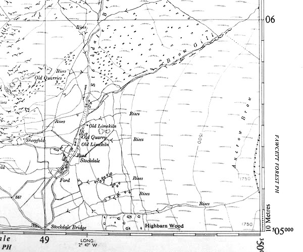
SINY4905.jpg
"Stockdale"
several buildings
placename:- Stockdale
WL1p368c.jpg
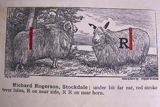
"Richard Rogerson, Stockdale; under bit far ear, red stroke over loins, R on near side, R R on near horn."
item:- private collection : 329
Image © see bottom of page
placename:- Stockdale
GT1p385c.jpg
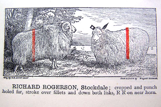
"RICHARD ROGERSON, Stockdale; cropped and punch hold far, stroke over fillets and down both lisks, RR on near horn."
item:- Kendal Library : 38
Image © see bottom of page
placename:- Stockdale
HG2p603a.jpg
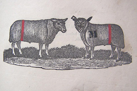
"JOHN MARTINDALE, Stockdale."
"Crooped and punch holed far ear, a red stroke over the fillets and down both lisks, and a cross on the face, M on the near shoulder."
item:- Kendal Library : 39
Image © see bottom of page
placename:- Stockdale
WK13L07.jpg
courtesy of George Akrigg
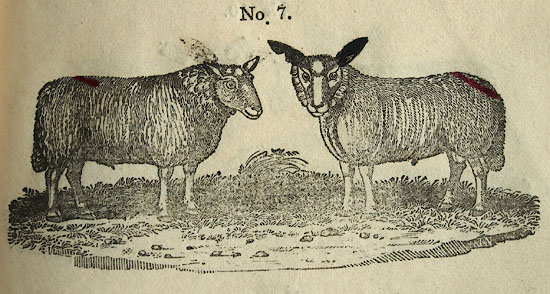
"No.7 - THOMAS HOGARTH, Stockdale:"
"Under bitted far ear, a red mark from the far side of the the back down the near side of the tail, TH on the horns."
item:- private collection : 91
Image © see bottom of page
placename:- Stockdale
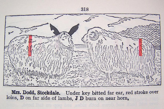
LM1p318a.jpg
"Mrs. Dodd, Stockdale. Under key bitted far ear, red stroke over loins, D on far side of lambs, J D burn on near horn."
item:- Kendal Library : 40
Image © see bottom of page
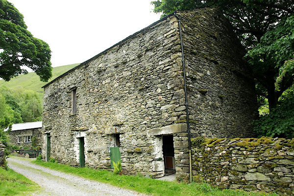
BQT29.jpg Barn.
(taken 9.6.2009)
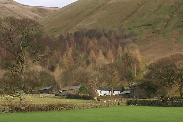
BVT71.jpg (taken 3.1.2012)
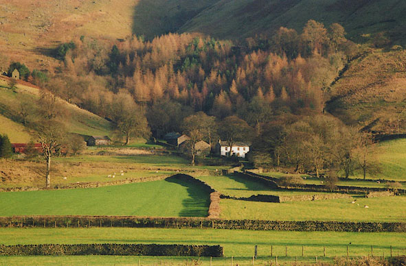
BIG05.jpg (taken 4.12.2003)
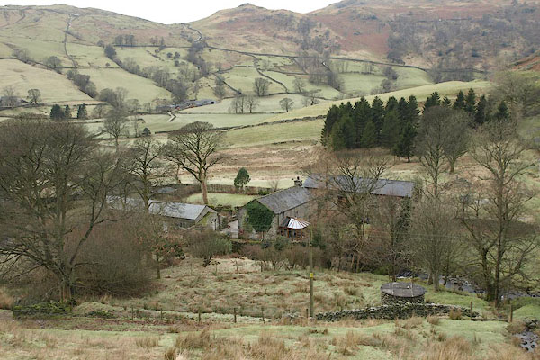
BSB54.jpg (taken 3.2.2010)
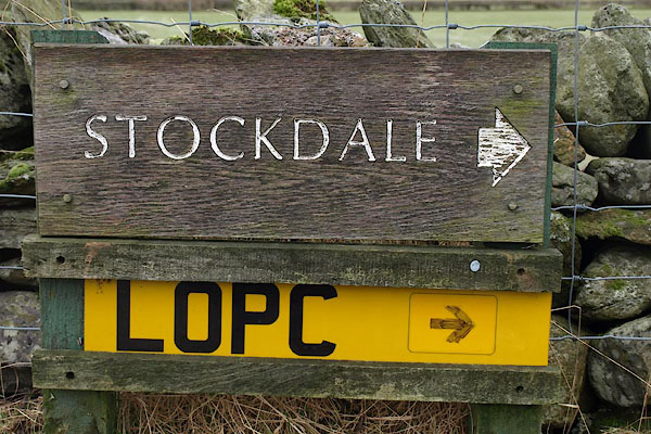
BSB60.jpg Sign by the road.
(taken 3.2.2010)
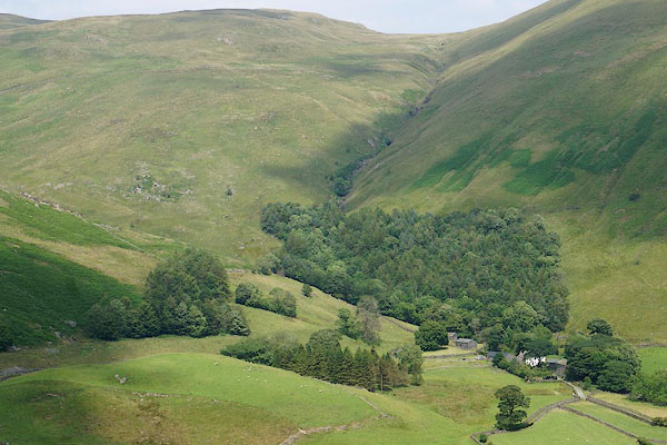
CBC54.jpg (taken 11.7.2014)
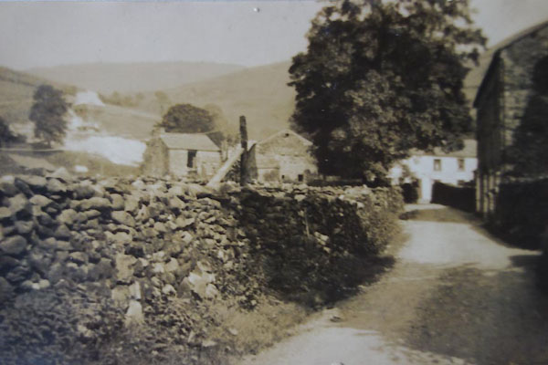
BYY99.jpg
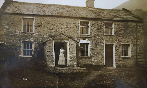
BYZ01.jpg
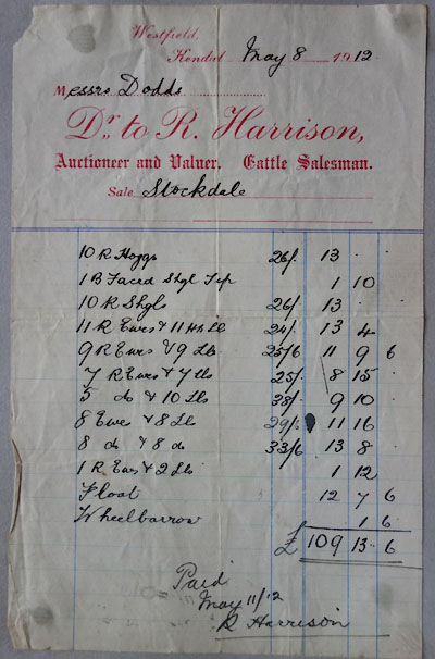
BYZ10.jpg Auction sale, 1912; Dodds purchase of items at Stockdale.

 Lakes Guides menu.