Old Cumbria Gazetteer
 |
 |
|
||
| Stockdale Beck | ||||
| runs into:- |  Sprint, River Sprint, River |
|||
|
|
||||
| civil parish:- | Longsleddale (formerly Westmorland) | |||
| county:- | Cumbria | |||
| locality type:- | river | |||
| locality type:- | flower | |||
| 1Km square:- | NY4805 | |||
| 1Km square:- | NY4905 | |||
| 1Km square:- | NY4906 | |||
| 1Km square:- | NY5006 | |||
| 1Km square:- | NY5007 | |||
| 10Km square:- | NY40 | |||
| 10Km square:- | NY50 | |||
|
|
||||
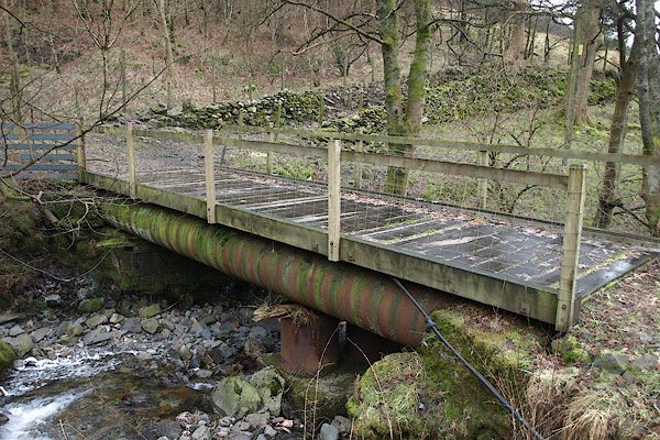
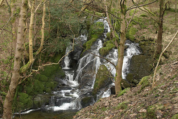
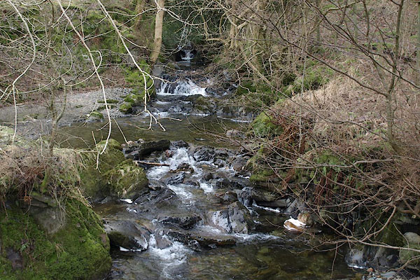 BSB64.jpg At the bridge by Stockdale, (taken 3.2.2010) |
||||
|
|
||||
| evidence:- | old map:- OS County Series (Wmd 27 3) placename:- Stockdale Beck |
|||
| source data:- | Maps, County Series maps of Great Britain, scales 6 and 25
inches to 1 mile, published by the Ordnance Survey, Southampton,
Hampshire, from about 1863 to 1948. OS County Series (Wmd 27 7) |
|||
|
|
||||
| evidence:- | old map:- Jefferys 1770 (Wmd) |
|||
| source data:- | Map, 4 sheets, The County of Westmoreland, scale 1 inch to 1
mile, surveyed 1768, and engraved and published by Thomas
Jefferys, London, 1770.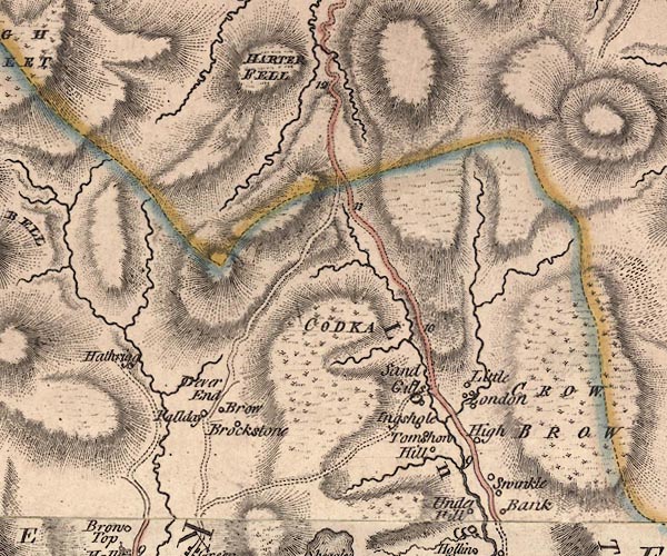 J5NY40NE.jpg single or double wiggly line; river item:- National Library of Scotland : EME.s.47 Image © National Library of Scotland |
|||
|
|
||||
| evidence:- | old map:- Hodgson 1828 placename:- Stock Dale |
|||
| source data:- | Map, hand coloured engraving, 4 sheets mounted together on linen and rolled, Plan
of the County of Westmorland, scale about 1.25 inches to 1 mile, by Thomas Hodgson,
engraved by W R Gardner, Harpur Street, London, published by Thomas Hodgson, Lancaster,
and perhaps by C Smith, 172 Strand, London,1828.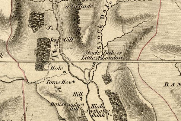 HDG6lsl3.jpg map courtesy of Mark Cropper "Stock Dale" item:- private collection : 371 Image © see bottom of page |
|||
|
|
||||
| evidence:- | old map:- Fields 1875 placename:- Stockdale Beck |
|||
| source data:- | 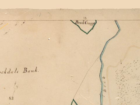 LFld0258.jpg courtesy of Ruth Fishwick |
|||
|
|
||||
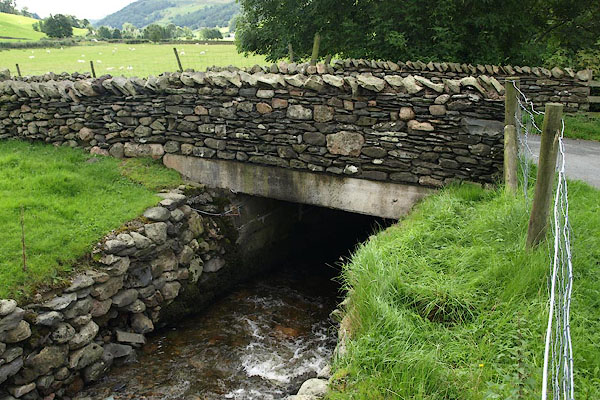
| evidence:- | map:- OS Six Inch (1956) placename:- Stockdale Beck |
|||
| source data:- | Map series, various editions with the national grid, scale about
6 inches to 1 mile, published by the Ordnance Survey,
Southampton, Hampshire, scale 1 to 10560 from 1950s to 1960s,
then 1 to 10000 from 1960s to 2000s, superseded by print on
demand from digital data.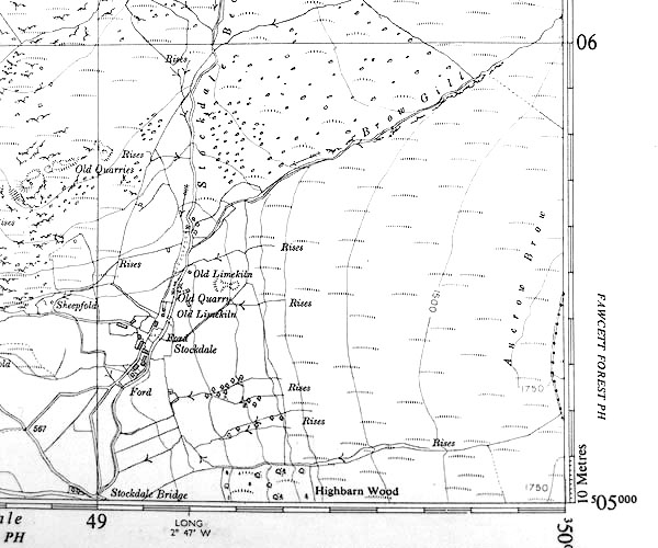 SINY4905.jpg "Stockdale Beck" |
|||
|
|
||||
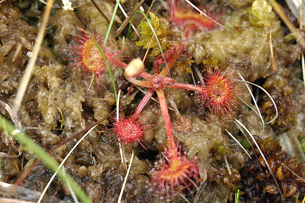 BQT45.jpg Sundew. (taken 9.6.2009) 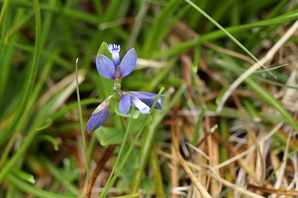 BQT46.jpg Common milkwort. (taken 9.6.2009) |
||||
|
|
||||
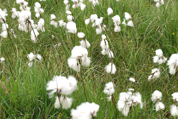 BQT47.jpg Cotton grass. (taken 9.6.2009) 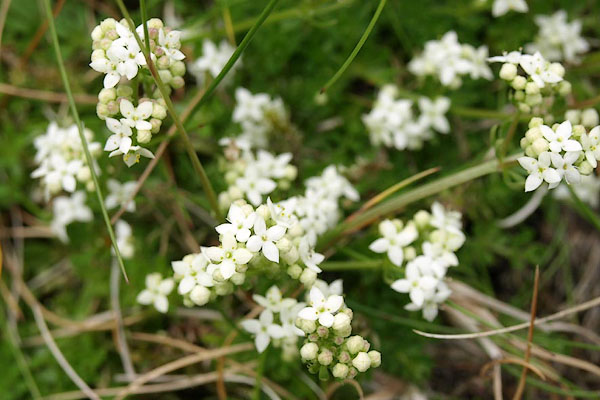 BQT48.jpg (taken 9.6.2009) 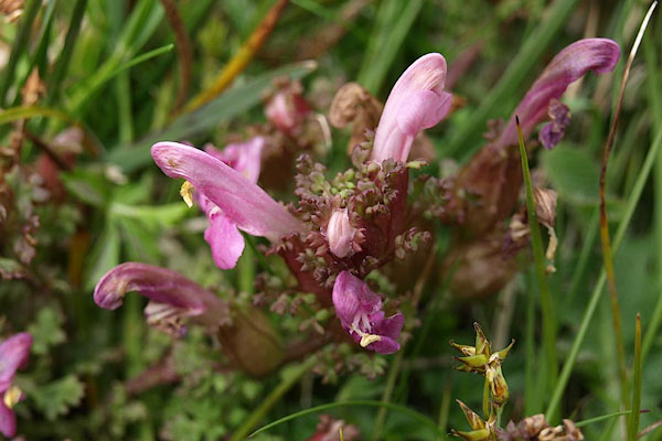 BQT49.jpg Common lousewort. (taken 9.6.2009) 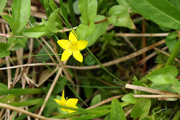 BQT54.jpg Creeping jenny. (taken 9.6.2009) 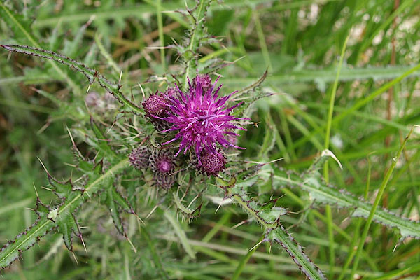 BQT55.jpg Marsh thistle. (taken 9.6.2009) |
||||
|
|
||||
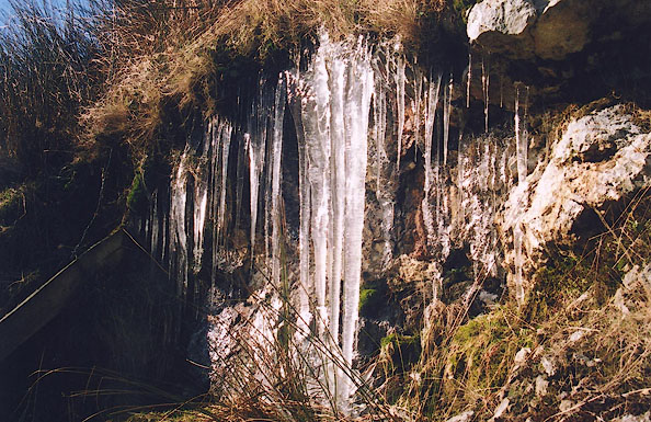 BIL20.jpg Icicles. (taken 26.2.2004) 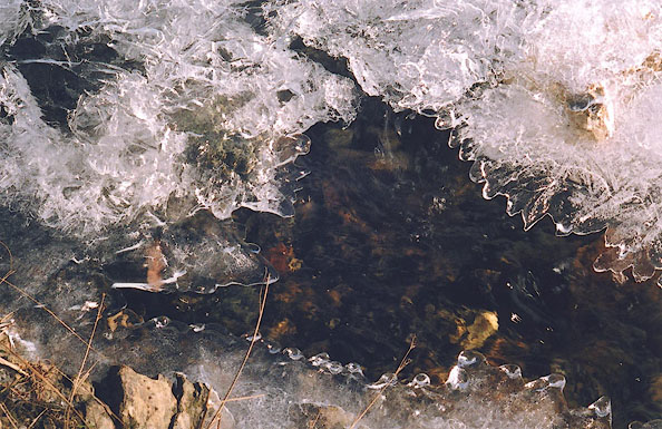 BIL21.jpg Ice. (taken 26.2.2004) 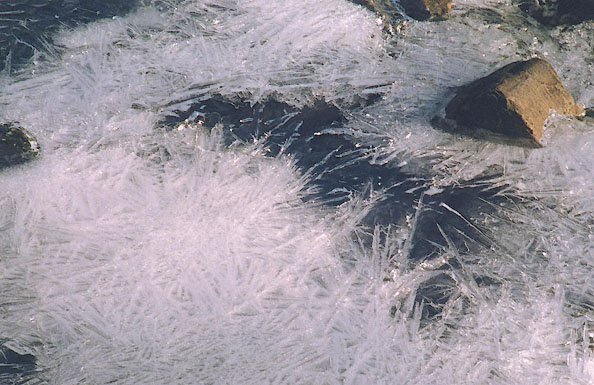 BIL22.jpg Ice. (taken 26.2.2004) 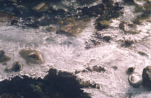 BIL24.jpg Ice. (taken 26.2.2004) |
||||
|
|
||||
| places:- |
|
|||
|
||||
|
||||
|
||||
|
||||
|
||||
Lakes Guides menu.