 Old Cumbria Gazetteer
 |
 |
|
| Stennerskeugh, Ravenstonedale | ||
| Stennerskeugh | ||
| civil parish:- | Ravenstonedale (formerly Westmorland) | |
| county:- | Cumbria | |
| locality type:- | buildings | |
| locality type:- | locality | |
| coordinates:- | NY744015 | |
| 1Km square:- | NY7401 | |
| 10Km square:- | NY70 | |
|
|
||
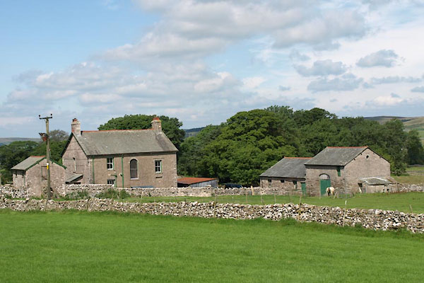 BTI94.jpg (taken 16.8.2010) 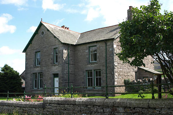 BTI93.jpg (taken 16.8.2010) |
||
|
|
||
| evidence:- | old map:- Jefferys 1770 (Wmd) placename:- Stenhouseskers |
|
| source data:- | Map, 4 sheets, The County of Westmoreland, scale 1 inch to 1
mile, surveyed 1768, and engraved and published by Thomas
Jefferys, London, 1770.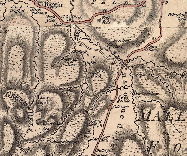 J5NY70SW.jpg "Stenhouseskers" circle, labelled in italic lowercase text; settlement, farm, house, or hamlet? item:- National Library of Scotland : EME.s.47 Image © National Library of Scotland |
|
|
|
||
 Lakes Guides menu.