 Old Cumbria Gazetteer
 |
 |
|
| Steel Pike, Longsleddale | ||
| Steel Pike | ||
| civil parish:- | Longsleddale (formerly Westmorland) | |
| county:- | Cumbria | |
| locality type:- | rocks | |
| coordinates:- | NY47430802 | |
| 1Km square:- | NY4708 | |
| 10Km square:- | NY40 | |
|
|
||
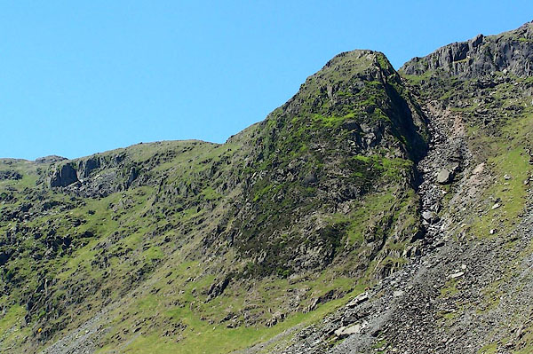 BMF87.jpg (taken 10.6.2006) 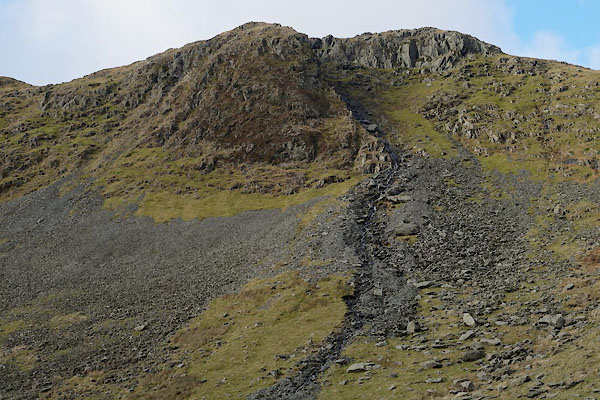 BZT01.jpg Showing the new beck made by a fierce rainstorm, 2006. (taken 28.12.2013) |
||
|
|
||
| evidence:- | textbook:- EPNS Westmorland 1967 placename:- Steale Pikes |
|
| source data:- | Book, The Place Names of Westmorland, two volumes, by A H Smith,
published for the English Place Name Society by Cambridge
University Press, Cambridgeshire, 1967 |
|
|
|
||
| evidence:- | map:- OS Six Inch (1956) placename:- Steel Pike |
|
| source data:- | Map series, various editions with the national grid, scale about
6 inches to 1 mile, published by the Ordnance Survey,
Southampton, Hampshire, scale 1 to 10560 from 1950s to 1960s,
then 1 to 10000 from 1960s to 2000s, superseded by print on
demand from digital data.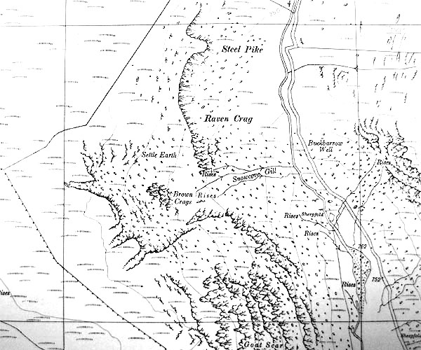 SINY4707.jpg "Steel Pike" |
|
|
|
||
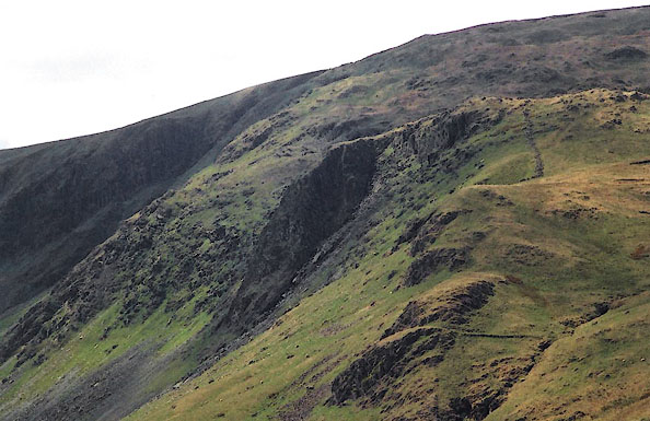 BJN29.jpg (taken 13.5.2005) 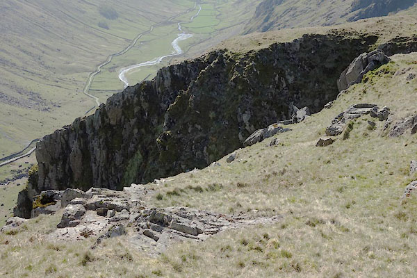 CAK27.jpg (taken 19.4.2014) |
||
|
|
||
 Lakes Guides menu.