 Old Cumbria Gazetteer
 |
 |
|
| Stable Harvey, Blawith and Subberthwaite | ||
| Stable Harvey | ||
| locality:- | Coats Hill | |
| civil parish:- | Blawith and Subberthwaite (formerly Lancashire) | |
| county:- | Cumbria | |
| locality type:- | buildings | |
| coordinates:- | SD28419170 | |
| 1Km square:- | SD2891 | |
| 10Km square:- | SD29 | |
|
|
||
| evidence:- | old map:- OS County Series (Lan 7 3) placename:- Stable Harvey |
|
| source data:- | Maps, County Series maps of Great Britain, scales 6 and 25
inches to 1 mile, published by the Ordnance Survey, Southampton,
Hampshire, from about 1863 to 1948. |
|
|
|
||
| evidence:- | database:- Listed Buildings 2010 placename:- Stable Harvey Farm item:- court cupboard |
|
| source data:- | courtesy of English Heritage "STABLE HARVEY FARMHOUSE AND OUTBUILDING / / / BLAWITH AND SUBBERTHWAITE / SOUTH LAKELAND / CUMBRIA / II / 76717 / SD2843291716" |
|
|
|
||
| evidence:- | database:- Listed Buildings 2010 |
|
| source data:- | courtesy of English Heritage "FARMBUILDINGS TO SOUTH WEST OF STABLE HARVEY FARMHOUSE / / / BLAWITH AND SUBBERTHWAITE / SOUTH LAKELAND / CUMBRIA / II / 76718 / SD2842691699" |
|
|
|
||
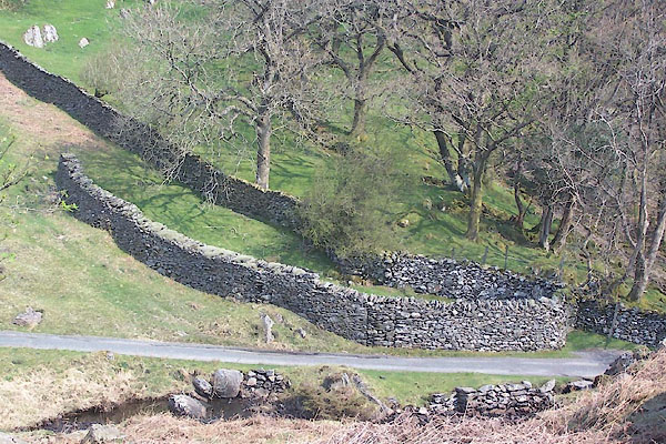 BUI95.jpg Unidentified structure nearby, (taken 19.4.2011) |
||
|
|
||
| hearsay:- |
The buildings have a gallery in an inner yard; railings gone when seen in the 1980s. |
|
|
|
||
 Lakes Guides menu.