 Old Cumbria Gazetteer
 |
 |
|
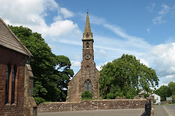
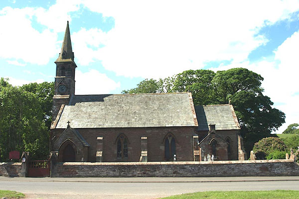
| St Matthew, Westnewton | ||
| St Matthew's Church | ||
| Westnewton Church | ||
| locality:- | Westnewton | |
| civil parish:- | Westnewton (formerly Cumberland) | |
| county:- | Cumbria | |
| locality type:- | church | |
| coordinates:- | NY13564417 | |
| 1Km square:- | NY1344 | |
| 10Km square:- | NY14 | |
| references:- | : 2005: Diocese of Carlisle, Directory 2004/5 |
|
|
|
||
 BPI19.jpg (taken 14.6.2008) 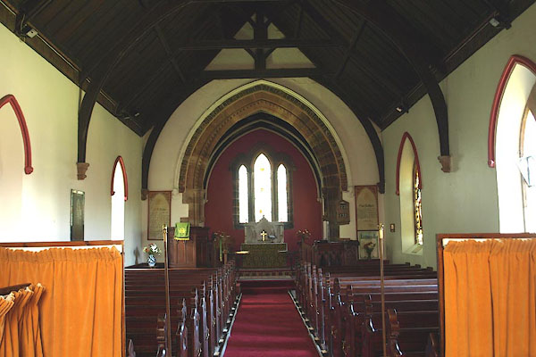 BPI21.jpg (taken 14.6.2008) |
||
|
|
||
| evidence:- | old map:- OS County Series (Cmd 35 4) placename:- St Matthew's Church |
|
| source data:- | Maps, County Series maps of Great Britain, scales 6 and 25
inches to 1 mile, published by the Ordnance Survey, Southampton,
Hampshire, from about 1863 to 1948. "St. Matthew's Church (Per Curacy) / Grave Yard" |
|
|
|
||
| evidence:- | old map:- Nurse 1918 |
|
| source data:- | Map, The Diocese of Carlisle, Cumberland, Westmorland, and
Lancashire North of the Sands, scale about 4 miles to 1 inch, by
Rev Euston J Nurse, published by Charles Thurnam and Sons, 11
English Street, Carlisle, Cumberland, 2nd edn 1939.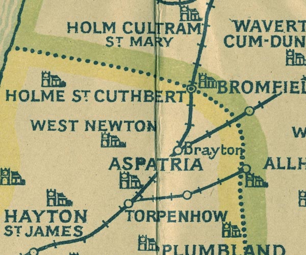 NUR1NY14.jpg "WEST NEWTON" item:- JandMN : 27 Image © see bottom of page |
|
|
|
||
 stained glass stained glass |
||
|
|
||
 BPI20.jpg (taken 14.6.2008) 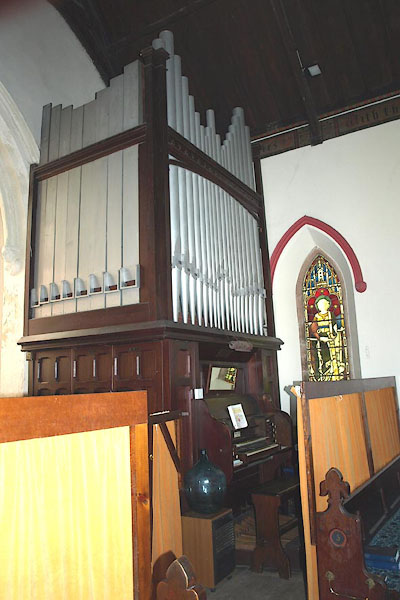 BPI22.jpg Organ by Norman and Beard, 1909. (taken 14.6.2008) 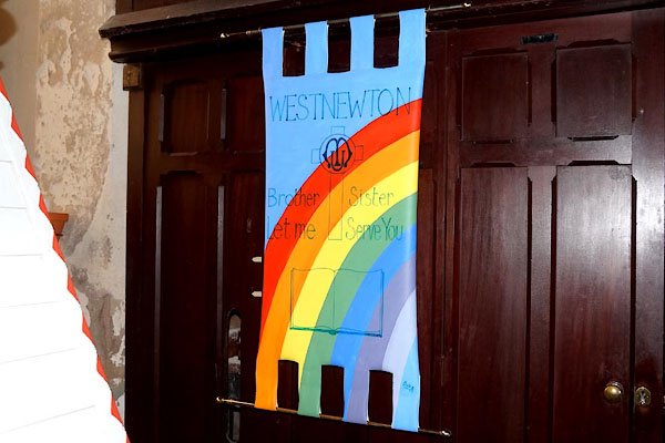 CDH99.jpg Mothers Union banner. (taken 12.6.2015)  BPI23.jpg Poor box. (taken 14.6.2008) |
||
|
|
||
| notes:- |
John Todd, born here, built the church about 1856 when he returned from being a merchant
in Manchester. |
|
|
|
||
| dedication | ||
| person:- | : St Matthew |
|
| place:- | Westnewton / Carlisle Diocese | |
|
|
||
 Lakes Guides menu.