 Old Cumbria Gazetteer
 |
 |
|
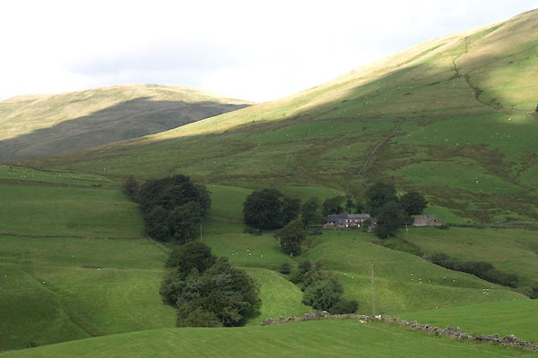
| High Sprintgill, Ravenstonedale | ||
| High Sprintgill | ||
| locality:- | Fell End | |
| civil parish:- | Ravenstonedale (formerly Westmorland) | |
| county:- | Cumbria | |
| locality type:- | buildings | |
| coordinates:- | SD72049918 | |
| 1Km square:- | SD7299 | |
| 10Km square:- | SD79 | |
|
|
||
 BXE41.jpg (taken 28.8.2012) |
||
|
|
||
| evidence:- | old map:- OS County Series (Wmd 35 8) placename:- Sprintgill |
|
| source data:- | Maps, County Series maps of Great Britain, scales 6 and 25
inches to 1 mile, published by the Ordnance Survey, Southampton,
Hampshire, from about 1863 to 1948. |
|
|
|
||
 Lakes Guides menu.