 Old Cumbria Gazetteer
 |
 |
|
| Spout House, Preston Patrick | ||
| Spout House | ||
| locality:- | Nook | |
| civil parish:- | Preston Patrick (formerly Westmorland) | |
| county:- | Cumbria | |
| locality type:- | buildings | |
| coordinates:- | SD54868180 | |
| 1Km square:- | SD5481 | |
| 10Km square:- | SD58 | |
|
|
||
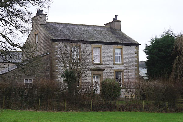 CEL99.jpg (taken 1.1.2016) 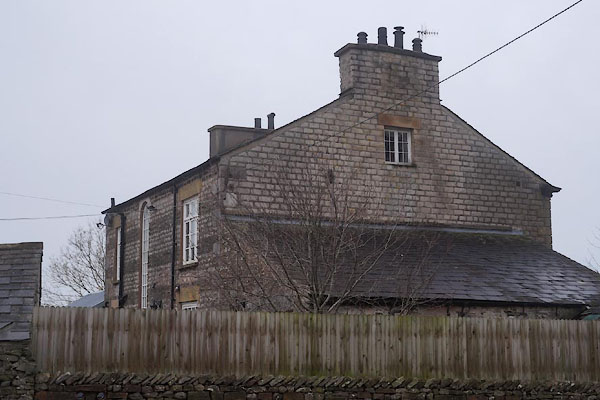 CEM01.jpg Rear. (taken 1.1.2016) |
||
|
|
||
| evidence:- | old map:- OS County Series (Wmd 47 1) placename:- Spout House |
|
| source data:- | Maps, County Series maps of Great Britain, scales 6 and 25
inches to 1 mile, published by the Ordnance Survey, Southampton,
Hampshire, from about 1863 to 1948. |
|
|
|
||
| evidence:- | database:- Listed Buildings 2010 placename:- Spout House Farm |
|
| source data:- | courtesy of English Heritage "SPOUT HOUSE FARMHOUSE / / A65 / PRESTON PATRICK / SOUTH LAKELAND / CUMBRIA / II / 76618 / SD5486181804" |
|
|
|
||
| evidence:- | database:- Listed Buildings 2010 |
|
| source data:- | courtesy of English Heritage "BARN APPROXIMATELY 10 METRES SOUTH EAST OF SPOUT HOUSE FARMHOUSE / / A65 / PRESTON PATRICK / SOUTH LAKELAND / CUMBRIA / II / 76619 / SD5486781775" |
|
|
|
||
 Lakes Guides menu.