button to main menu  Old Cumbria Gazetteer
Soutergate, Kirkby Ireleth
Soutergate
civil parish:-   Kirkby Ireleth (formerly Lancashire)
county:-   Cumbria
locality type:-   locality
locality type:-   buildings
coordinates:-   SD22728140 (etc) 
1Km square:-   SD2281
10Km square:-   SD28

evidence:-   old map:- Otley 1818
placename:-  Soutergate
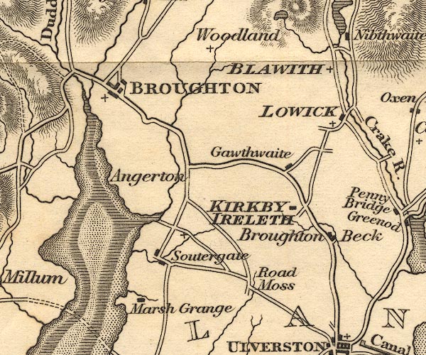
source data:-   Map, uncoloured engraving, The District of the Lakes, Cumberland, Westmorland, and Lancashire, scale about 4 miles to 1 inch, by Jonathan Otley, 1818, engraved by J and G Menzies, Edinburgh, Scotland, published by Jonathan Otley, Keswick, Cumberland, et al, 1833.
image
OT02SD28.jpg
item:-  JandMN : 48.1
Image © see bottom of page

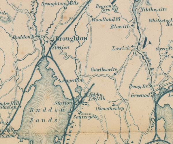
evidence:-   old map:- Garnett 1850s-60s H
placename:-  Soutergate
source data:-   Map of the English Lakes, in Cumberland, Westmorland and Lancashire, scale about 3.5 miles to 1 inch, published by John Garnett, Windermere, Westmorland, 1850s-60s.
image
GAR2SD28.jpg
"Soutergate"
blocks, settlement 
item:-  JandMN : 82.1
Image © see bottom of page
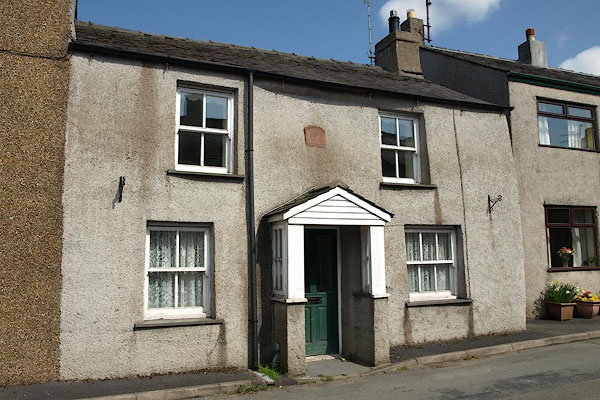
places:-  
SD22788135 Bensons Cottage (Kirkby Ireleth)
SD22308141 Carl Cross (Kirkby Ireleth)
SD22808118 Cross Beck (Kirkby Ireleth)
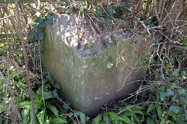
SD22958123 milestone, Kirkby Ireleth (3) (Kirkby Ireleth)
SD22738169 police station, Soutergate (Kirkby Ireleth)
SD21918077 Soutergate Crossing (Kirkby Ireleth)
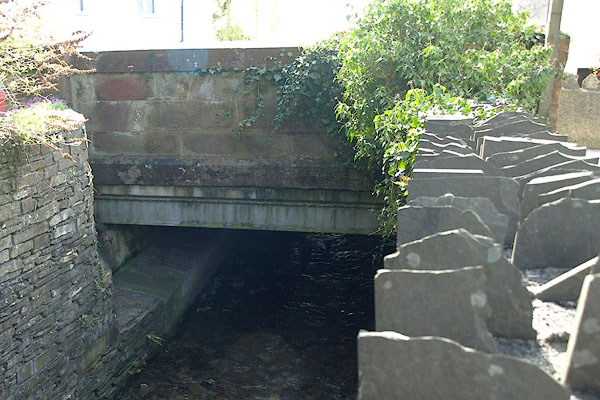
SD22788136 Soutergate Old Bridge (Kirkby Ireleth)
button to lakes menu  Lakes Guides menu.