 Old Cumbria Gazetteer
 |
 |
|
| Soulby Fell, Dacre | ||
| Soulby Fell | ||
| civil parish:- | Dacre (formerly Cumberland) | |
| county:- | Cumbria | |
| locality type:- | hill | |
| locality type:- | fell | |
| coordinates:- | NY454246 (etc) | |
| 1Km square:- | NY4524 | |
| 10Km square:- | NY42 | |
| altitude:- | 904 feet | |
| altitude:- | 276m | |
|
|
||
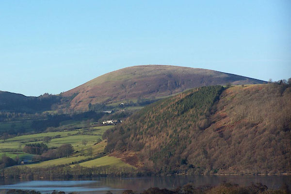 BLN32.jpg From across the lake. (taken 4.1.2006) |
||
|
|
||
| evidence:- | old print:- Clarke 1787 placename:- Soulby Fell |
|
| source data:- | Topograph, the view from Penrith Beacon, Cumberland, by James
Clarke, published by James Clarke, London, 1787.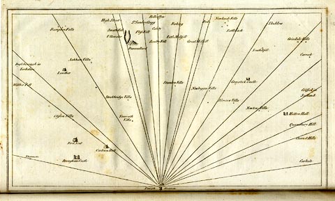 click to enlarge click to enlargeCL18.jpg "Soulby Fell" item:- Armitt Library : A6615.12 Image © see bottom of page |
|
|
|
||
| evidence:- | old map:- Clarke 1787 map (Ullswater) placename:- Soulby Fell |
|
| source data:- | Map, A Map of the Lake Ullswater and its Environs, scale about
6.5 ins to 1 mile, by James Clarke, engraved by S J Neele, 352
Strand, published by James Clarke, Penrith, Cumberland and in
London etc, 1787.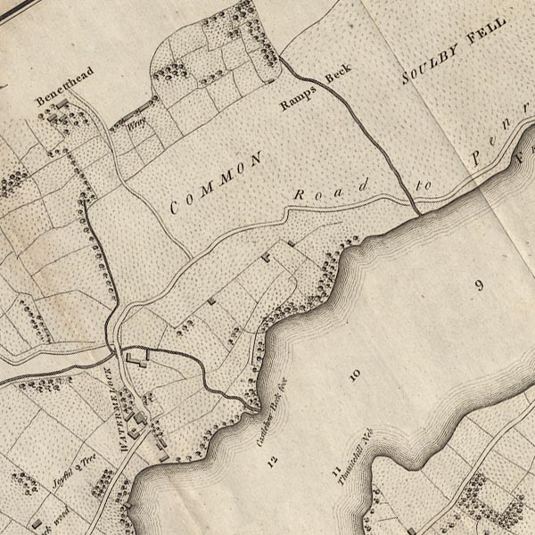 CL4NY42L.jpg "SOULBY FELL" item:- private collection : 10.4 Image © see bottom of page |
|
|
|
||
 Lakes Guides menu.