 |
 |
   |
|
|
|
Smithfield |
|
Little Smithfield |
| civil parish:- |
Kirklinton Middle (formerly Cumberland) |
| county:- |
Cumbria |
| locality type:- |
locality |
| locality type:- |
buildings |
| coordinates:- |
NY44136534 (etc) |
| 1Km square:- |
NY4465 |
| 10Km square:- |
NY46 |
|
|
| evidence:- |
old map:- OS County Series (Cmd 11 9)
placename:- Smithfield
|
| source data:- |
Maps, County Series maps of Great Britain, scales 6 and 25
inches to 1 mile, published by the Ordnance Survey, Southampton,
Hampshire, from about 1863 to 1948.
|
|
|
notes:-
|
Named after the famous market in London. Produce was sold here when on its way to
Longtown from Newcastle.
|
|
|
| places:- |
 |
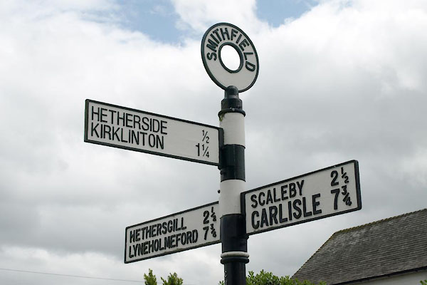
NY44236546 fingerpost, Smithfield (Kirklinton Middle) |
|
|
 |
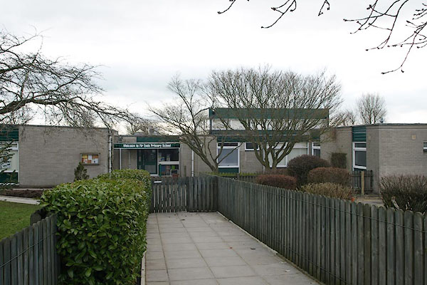
NY44296544 Fir Ends School (Kirklinton Middle) |
|
|
 |
NY44606556 Greenwood Side (Kirklinton Middle) |
|
|
 |
NY44246534 police house, Smithfield (Kirklinton Middle) |
|
|
 |
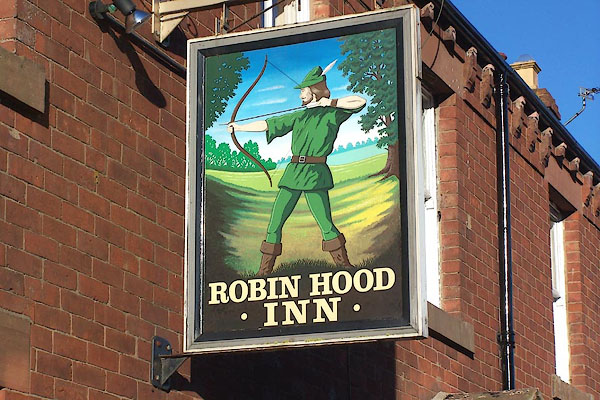
NY44116536 Robin Hood Inn (Kirklinton Middle) |
|
|
 |
NY44116532 Smithfield House (Kirklinton Middle) |
|
|
 |
NY44526533 South View (Kirklinton Middle) |
|
|
 |
NY44166536 Cobble Rose (Kirklinton Middle) |
|


