


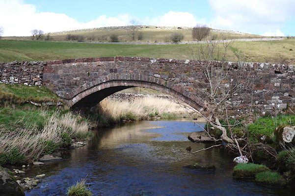
CAI42.jpg (taken 14.4.2014)
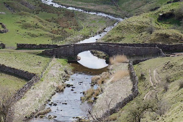
CAI86.jpg (taken 14.4.2014)
placename:- Smardale Bridge
placename:- Smardale Bridge
courtesy of English Heritage
"SMARDALE BRIDGE OVER SCANDAL BECK TO SOUTH OF SMARDALEGILL VIADUCT (AT NGR NY 721 059) / / / RAVENSTONEDALE / EDEN / CUMBRIA / II / 74101 / NY7206805958"
courtesy of English Heritage
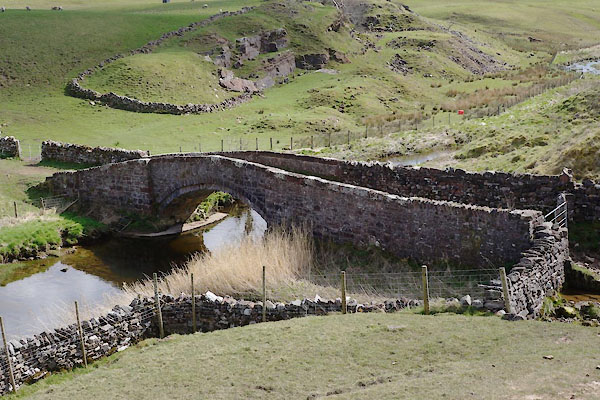
"Packhorse bridge; probably C18 with later additions. Coursed, squared rubble with flat copings. Original abutments to west end of north parapet and east end of south; later abutments added, as part of field walls, to east end of north parapet and west end of south. Single segmental arch spans c.30 ft. Roadway c.6 ft wide between parapets c.3 ft high. Crosses parish boundary with WAITBY."
courtesy of English Heritage
"SMARDALE BRIDGE OVER SCANDAL BECK SOUTH OF SMARDALEGILL VIADUCT / / / WAITBY / EDEN / CUMBRIA / II / 73056 / NY7206905958"
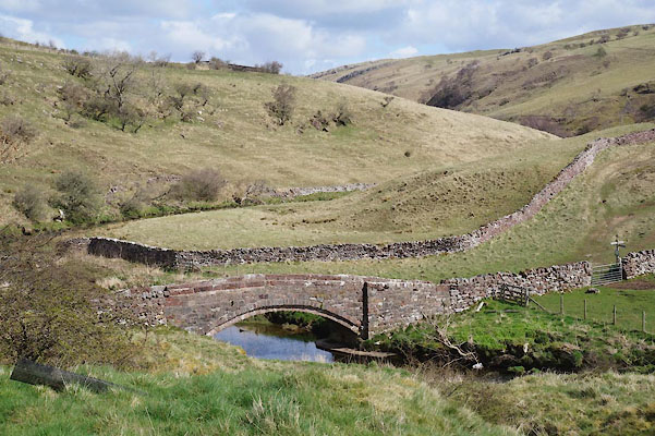
CAI41.jpg (taken 14.4.2014)
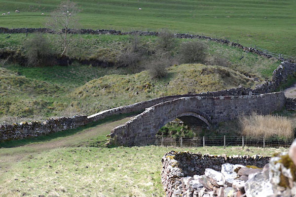
CAI43.jpg (taken 14.4.2014)
CAI87.jpg (taken 14.4.2014)

 Lakes Guides menu.