Old Cumbria Gazetteer
 |
 |
|
||
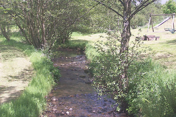
| Skirwith Beck | ||||
| runs into:- |  Briggle Beck Briggle Beck |
|||
|
|
||||
| civil parish:- | Culgaith (formerly Cumberland) | |||
| county:- | Cumbria | |||
| locality type:- | river | |||
| 1Km square:- | NY6132 (etc) | |||
| 10Km square:- | NY63 | |||
|
|
||||
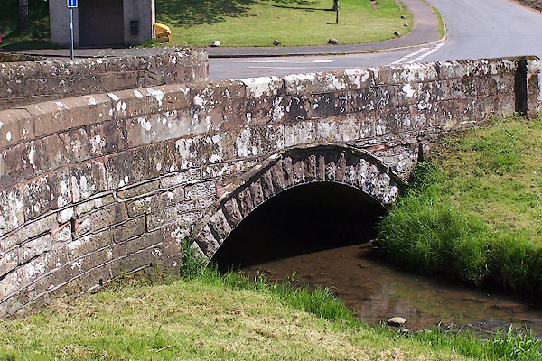
 BMF36.jpg At the bridge in Skirwith. (taken 2.6.2006) |
||||
|
|
||||
| evidence:- | old map:- OS County Series (Cmd 51 13) placename:- Skirwith Beck |
|||
| source data:- | Maps, County Series maps of Great Britain, scales 6 and 25
inches to 1 mile, published by the Ordnance Survey, Southampton,
Hampshire, from about 1863 to 1948. |
|||
|
|
||||
| evidence:- | probably old map:- Jansson 1646 |
|||
| source data:- | Map, hand coloured engraving, Cumbria and Westmoria, ie
Cumberland and Westmorland, scale about 3.5 miles to 1 inch, by
John Jansson, Amsterdam, Netherlands, 1646.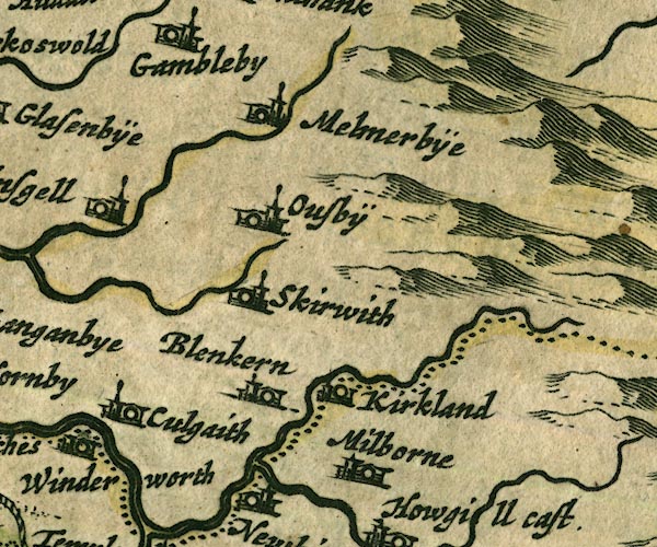 JAN3NY63.jpg Single wiggly line; rivers on the map are incorrectly drawn here. item:- JandMN : 88 Image © see bottom of page |
|||
|
|
||||
| evidence:- | old map:- Donald 1774 (Cmd) |
|||
| source data:- | Map, hand coloured engraving, 3x2 sheets, The County of Cumberland, scale about 1
inch to 1 mile, by Thomas Donald, engraved and published by Joseph Hodskinson, 29
Arundel Street, Strand, London, 1774.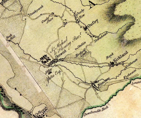 D4NY63SW.jpg single or double wiggly line; a river into Blencarn Beck at Skirwith item:- Carlisle Library : Map 2 Image © Carlisle Library |
|||
|
|
||||
| places:- |
|
|||
Lakes Guides menu.