 Old Cumbria Gazetteer
 |
 |
|
| Skelsmergh | ||
| civil parish:- | Skelsmergh (formerly Westmorland) | |
| county:- | Cumbria | |
| locality type:- | locality | |
| coordinates:- | SD52809616 (etc) | |
| 1Km square:- | SD5296 | |
| 10Km square:- | SD59 | |
|
|
||
| evidence:- | old map:- Saxton 1579 placename:- Sleelmere |
|
| source data:- | Map, hand coloured engraving, Westmorlandiae et Cumberlandiae Comitatus ie Westmorland
and Cumberland, scale about 5 miles to 1 inch, by Christopher Saxton, London, engraved
by Augustinus Ryther, 1576, published 1579-1645.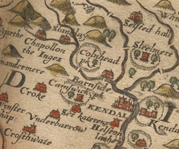 Sax9SD49.jpg Tower, symbol for a house, hall, tower, etc. "Sleelmere" Settlement drawn in a park, fence palings, trees. item:- private collection : 2 Image © see bottom of page |
|
|
|
||
| evidence:- | hearth tax returns:- Hearth Tax 1675 placename:- Skelsmoore |
|
| source data:- | Records, hearth tax survey returns, Westmorland, 1674/75. "Skelsmoore" in "Patton and Skelsmoore" |
|
|
|
||
| evidence:- | old map:- Seller 1694 (Wmd) placename:- Sleelmere |
|
| source data:- | Map, hand coloured engraving, Westmorland, scale about 8 miles
to 1 inch, by John Seller, 1694. click to enlarge click to enlargeSEL7.jpg "Sleelmere" circle, italic lowercase text; settlement or house item:- Dove Cottage : 2007.38.87 Image © see bottom of page |
|
|
|
||
| evidence:- | old map:- Bowen and Kitchin 1760 placename:- Skelsmore |
|
| source data:- | Map, hand coloured engraving, A New Map of the Counties of
Cumberland and Westmoreland Divided into their Respective Wards,
scale about 4 miles to 1 inch, by Emanuel Bowen and Thomas
Kitchin et al, published by T Bowles, Robert Sayer, and John
Bowles, London, 1760.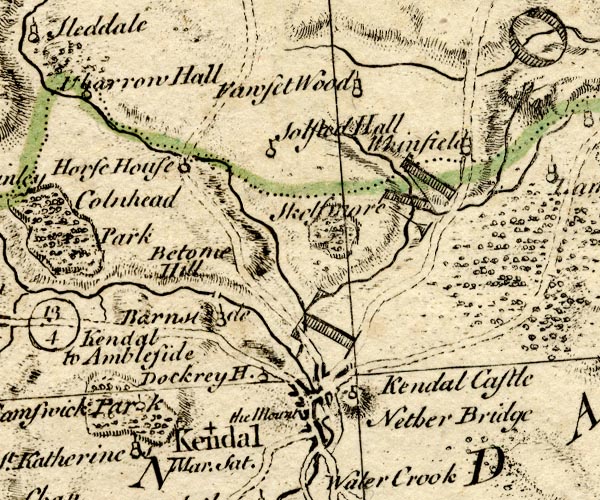 BO18SD49.jpg "Skelsmore" no settlement symbol; outline of fence palings item:- Armitt Library : 2008.14.10 Image © see bottom of page |
|
|
|
||
| evidence:- | old map:- Jefferys 1770 (Wmd) placename:- Skelsmergh |
|
| source data:- | Map, 4 sheets, The County of Westmoreland, scale 1 inch to 1
mile, surveyed 1768, and engraved and published by Thomas
Jefferys, London, 1770.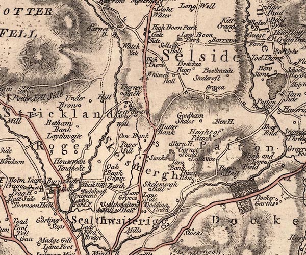 J5SD59NW.jpg "Skelsmergh" area item:- National Library of Scotland : EME.s.47 Image © National Library of Scotland |
|
|
|
||
| evidence:- | old map:- Cooper 1808 placename:- Skelsmerk |
|
| source data:- | Map, hand coloured engraving, Westmoreland ie Westmorland, scale
about 9 miles to 1 inch, by H Cooper, 1808, published by R
Phillips, Bridge Street, Blackfriars, London, 1808. click to enlarge click to enlargeCOP4.jpg "Skelsmerk" circle; village or hamlet item:- Dove Cottage : 2007.38.53 Image © see bottom of page |
|
|
|
||
 Lakes Guides menu.