 Old Cumbria Gazetteer
 |
 |
|
| Sheffield Pike, Patterdale | ||
| Sheffield Pike | ||
| civil parish:- | Patterdale (formerly Westmorland) | |
| county:- | Cumbria | |
| locality type:- | hill | |
| coordinates:- | NY36911819 | |
| 1Km square:- | NY3618 | |
| 10Km square:- | NY31 | |
| altitude:- | 2215 feet | |
| altitude:- | 675m | |
|
|
||
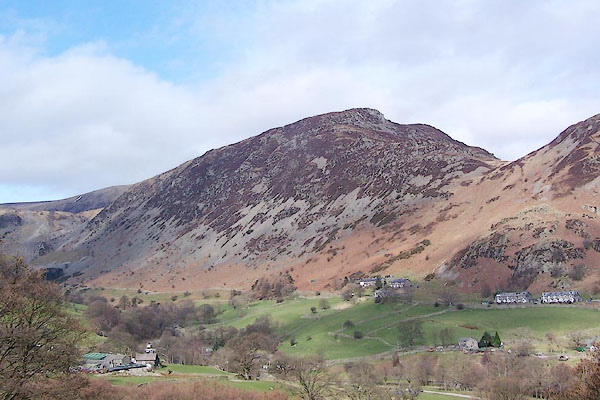 BQG81.jpg (taken 17.3.2009) 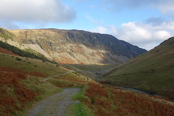 CCC84.jpg (taken 18.11.2014) |
||
|
|
||
| evidence:- | old map:- OS County Series (Wmd 12 6) placename:- Sheffield Pike |
|
| source data:- | Maps, County Series maps of Great Britain, scales 6 and 25
inches to 1 mile, published by the Ordnance Survey, Southampton,
Hampshire, from about 1863 to 1948. "Sheffield Pike (Pile of Stones)" |
|
|
|
||
| evidence:- | old photograph:- Photochrom 1930s |
|
| source data:- | Photograph, black and white halftone print, Ullswater from Place Fell, Patterdale,
Westmorland, published by Photochrom Co, Tunbridge Wells, Kent, 1930s?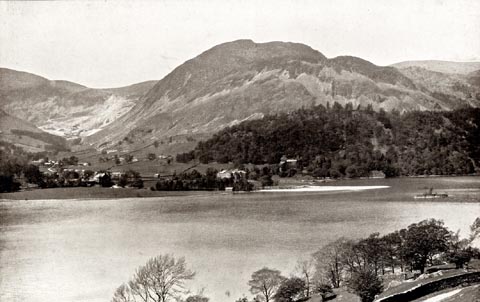 click to enlarge click to enlargePCH111.jpg printed, "Ullswater from Place Fell. / ..." item:- JandMN : 1015.11 Image © see bottom of page |
|
|
|
||
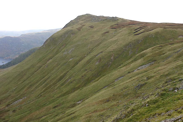 CEE15.jpg from NW. (taken 20.10.2015) 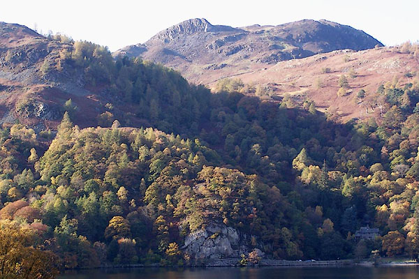 BMY16.jpg Stybarrow Crag, Glenridding Dodd, Heron Pike, Sheffield Pike. (taken 2.11.2006) 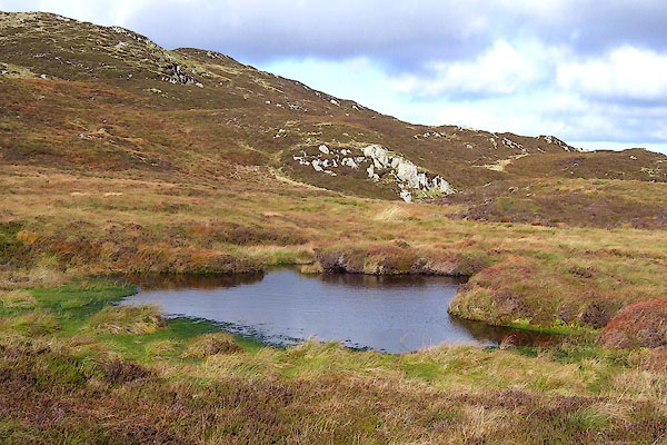 BOH43.jpg Tarn on Sheffield Pike. (taken 17.10.2007) 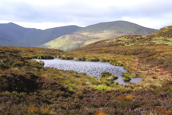 BOH44.jpg Tarn on Sheffield Pike. (taken 17.10.2007) 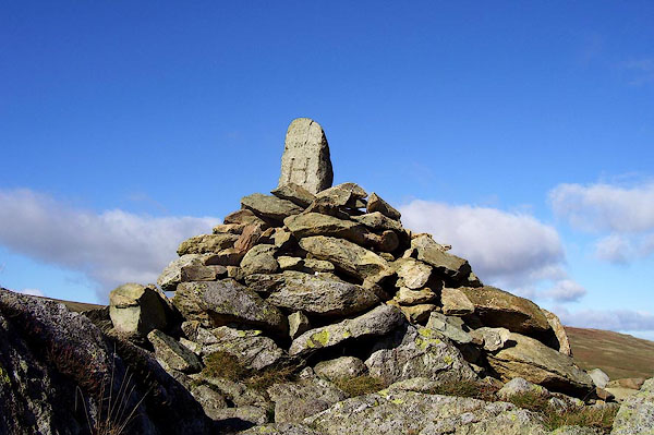 BOH45.jpg Cairn. (taken 17.10.2007) 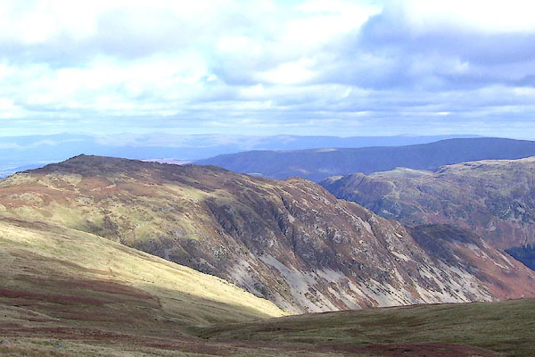 BOH55.jpg (taken 17.10.2007) 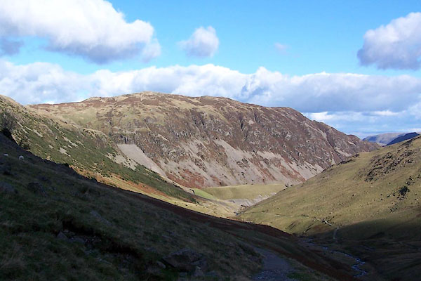 BVN98.jpg (taken 19.10.2011) |
||
|
|
||
 Lakes Guides menu.