 |
 |
|
|
|
|
Seatle |
| civil parish:- |
Staveley-in-Cartmel (formerly Lancashire) |
| county:- |
Cumbria |
| locality type:- |
locality |
| locality type:- |
buildings |
| coordinates:- |
SD37908315 (etc) |
| 1Km square:- |
SD3783 |
| 10Km square:- |
SD38 |
|
|
| evidence:- |
old map:- OS County Series (Lan 12 7)
placename:- Seatle
|
| source data:- |
Maps, County Series maps of Great Britain, scales 6 and 25
inches to 1 mile, published by the Ordnance Survey, Southampton,
Hampshire, from about 1863 to 1948.
|
|
|
| places:- |
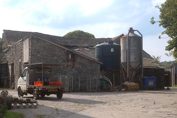 |
SD37848312 Seatle East Farm (Staveley-in-Cartmel) L out of sight |
|
|
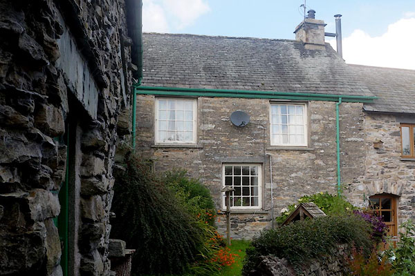 |
SD37878311 Seatle Farm Cottage (Staveley-in-Cartmel) L |
|
|
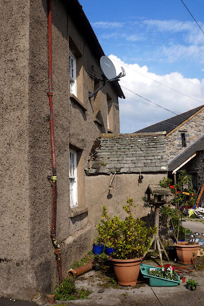 |
SD37898312 Seatle Farm (Staveley-in-Cartmel) L |
|
|
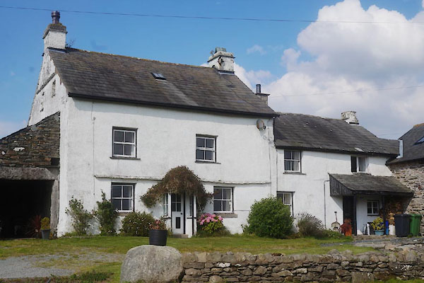 |
SD37938317 Seatle Hall (Staveley-in-Cartmel) L |
|

 Lakes Guides menu.