 Old Cumbria Gazetteer
 |
 |
|
| Scar Brow, Kirkby Lonsdale | ||
| Scar Brow | ||
| civil parish:- | Kirkby Lonsdale (formerly Westmorland) | |
| county:- | Cumbria | |
| locality type:- | buildings | |
| coordinates:- | SD60648117 | |
| 1Km square:- | SD6081 | |
| 10Km square:- | SD68 | |
|
|
||
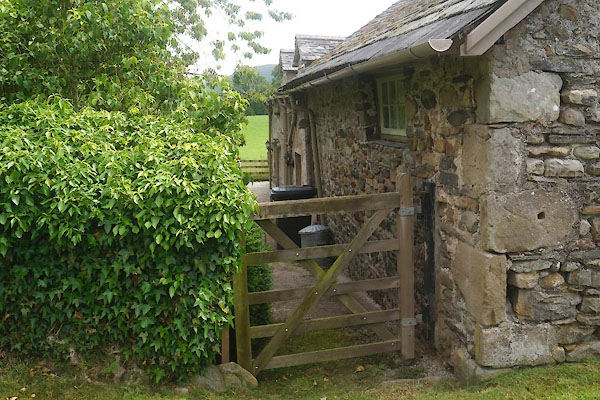 CDO14.jpg (taken 9.7.2015) 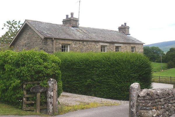 CDO13.jpg (taken 9.7.2015) |
||
|
|
||
| evidence:- | old map:- OS County Series (Wmd 47 4) placename:- Scar Brow |
|
| source data:- | Maps, County Series maps of Great Britain, scales 6 and 25
inches to 1 mile, published by the Ordnance Survey, Southampton,
Hampshire, from about 1863 to 1948. |
|
|
|
||
| evidence:- | old map:- Jefferys 1770 (Wmd) placename:- Scarbrow |
|
| source data:- | Map, 4 sheets, The County of Westmoreland, scale 1 inch to 1
mile, surveyed 1768, and engraved and published by Thomas
Jefferys, London, 1770.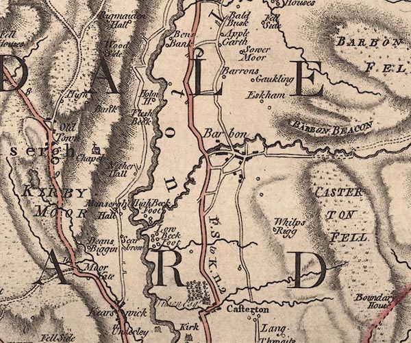 J5SD68SW.jpg "Scarbrow" circle, labelled in italic lowercase text; settlement, farm, house, or hamlet? item:- National Library of Scotland : EME.s.47 Image © National Library of Scotland |
|
|
|
||
| evidence:- | database:- Listed Buildings 2010 placename:- Scar Brow |
|
| source data:- | courtesy of English Heritage "SCAR BROW / / MANSERGH ROAD / KIRKBY LONSDALE / SOUTH LAKELAND / CUMBRIA / II / 75202 / SD6064181170" |
|
|
|
||
 Lakes Guides menu.