Old Cumbria Gazetteer
 |
 |
|
||
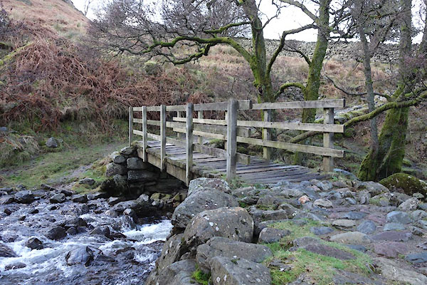
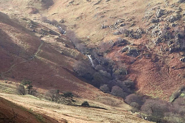
| Scalehow Beck | ||||
| runs into:- |  Ullswater Ullswater |
|||
|
|
||||
| civil parish:- | Martindale (formerly Westmorland) | |||
| county:- | Cumbria | |||
| locality type:- | river | |||
| coordinates:- | NY41591961 | |||
| 1Km square:- | NY4119 | |||
| 10Km square:- | NY41 | |||
|
|
||||
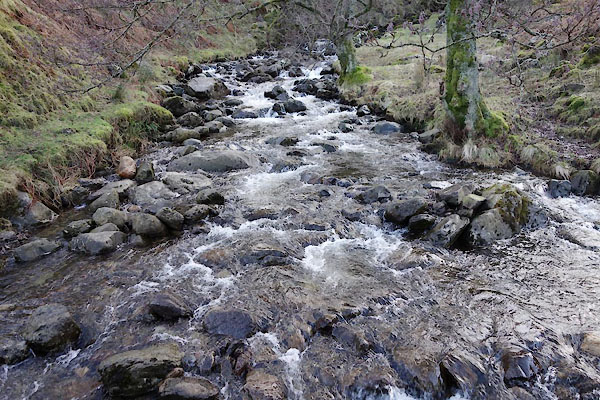 BZZ49.jpg (taken 27.2.2014) 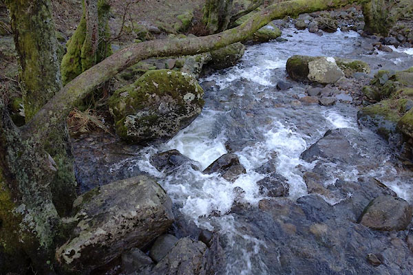 BZZ50.jpg (taken 27.2.2014) |
||||
|
|
||||
| evidence:- | old map:- OS County Series (Wmd 12 4) placename:- Scalehow Beck |
|||
| source data:- | Maps, County Series maps of Great Britain, scales 6 and 25
inches to 1 mile, published by the Ordnance Survey, Southampton,
Hampshire, from about 1863 to 1948. |
|||
|
|
||||
| evidence:- | old map:- Clarke 1787 map (Ullswater) |
|||
| source data:- | Map, A Map of the Lake Ullswater and its Environs, scale about
6.5 ins to 1 mile, by James Clarke, engraved by S J Neele, 352
Strand, published by James Clarke, Penrith, Cumberland and in
London etc, 1787.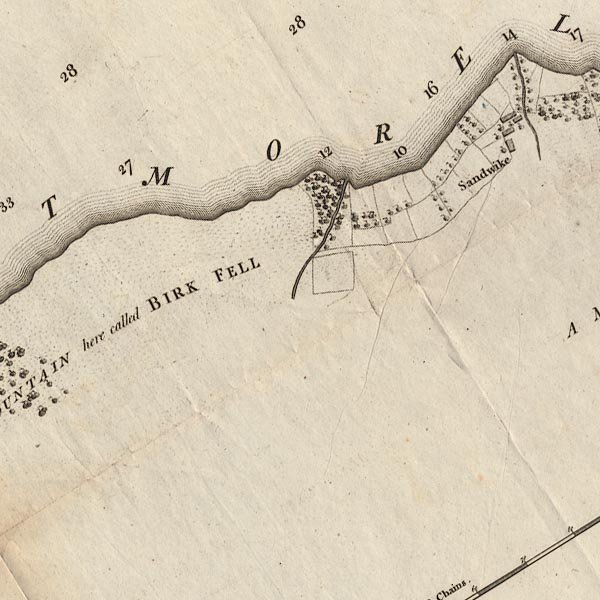 CL4NY41E.jpg item:- private collection : 10.4 Image © see bottom of page |
|||
|
|
||||
| places:- |
|
|||
|
||||
Lakes Guides menu.