 Old Cumbria Gazetteer
 |
 |
|
| Salter Hall, Lamplugh | ||
| Salter Hall | ||
| civil parish:- | Lamplugh (formerly Cumberland) | |
| county:- | Cumbria | |
| locality type:- | buildings | |
| coordinates:- | NY05941691 | |
| 1Km square:- | NY0516 | |
| 10Km square:- | NY01 | |
|
|
||
| evidence:- | old map:- OS County Series (Cmd 68 5) placename:- Salter Hall |
|
| source data:- | Maps, County Series maps of Great Britain, scales 6 and 25
inches to 1 mile, published by the Ordnance Survey, Southampton,
Hampshire, from about 1863 to 1948. |
|
|
|
||
| evidence:- | old map:- Ogilby 1675 (plate 96) |
|
| source data:- | Road strip map, hand coloured engraving, the Road from Kendal to
Cockermouth, and the Road from Egremond to Carlisle, scale about
1 inch to 1 mile, by John Ogilby, London, 1675.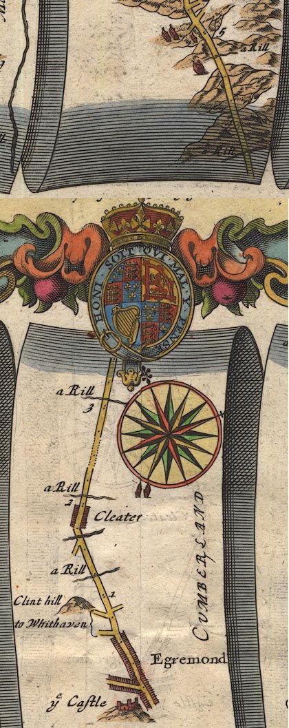 OG96Bm00.jpg In mile 4, Cumberland. House drawn to left of the road. item:- JandMN : 22 Image © see bottom of page |
|
|
|
||
| evidence:- | old map:- Donald 1774 (Cmd) placename:- Salter Hall |
|
| source data:- | Map, hand coloured engraving, 3x2 sheets, The County of Cumberland, scale about 1
inch to 1 mile, by Thomas Donald, engraved and published by Joseph Hodskinson, 29
Arundel Street, Strand, London, 1774.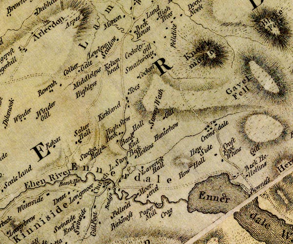 D4NY01NE.jpg "Salter Hall" block or blocks, labelled in lowercase; a hamlet or just a house item:- Carlisle Library : Map 2 Image © Carlisle Library |
|
|
|
||
| evidence:- | mine plan:- Postlethwaite 1877 placename:- Salter Hall |
|
| source data:- | Print, drawing, geological section, Deposit of Haematite, Salter Hall, Lamplugh, Cumberland,
scale about 1 to 1800, by J D Kendal, published by W H Moss and Sons, 13 Lowther Street,
Whitehaven, Cumberland, 1877 edn 1913.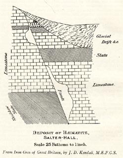 click to enlarge click to enlargePST338.jpg On p.142 of Mines and Mining in the English Lake District, by John Postlethwaite. printed, bottom "DEPOSIT OF HAEMATITE, / SALTER HALL, / Scale 25 Fathoms to 1 inch. / From Iron Ores of Great Britain, by J. D. Kendal, M.E.F.G.S." item:- JandMN : 162.40 Image © see bottom of page |
|
|
|
||
 Lakes Guides menu.