 |
 |
|
|
|
|
Routenbeck |
| civil parish:- |
Wythop (formerly Cumberland) |
| county:- |
Cumbria |
| locality type:- |
locality |
| locality type:- |
buildings |
| coordinates:- |
NY19523038 (etc) |
| 1Km square:- |
NY1930 |
| 10Km square:- |
NY13 |
|
|
| evidence:- |
old map:- OS County Series (Cmd 55 3)
placename:- Routenbeck
|
| source data:- |
Maps, County Series maps of Great Britain, scales 6 and 25
inches to 1 mile, published by the Ordnance Survey, Southampton,
Hampshire, from about 1863 to 1948.
|
|
|
| evidence:- |
old map:- Donald 1774 (Cmd)
placename:- Routen Beck
|
| source data:- |
Map, hand coloured engraving, 3x2 sheets, The County of Cumberland, scale about 1
inch to 1 mile, by Thomas Donald, engraved and published by Joseph Hodskinson, 29
Arundel Street, Strand, London, 1774.
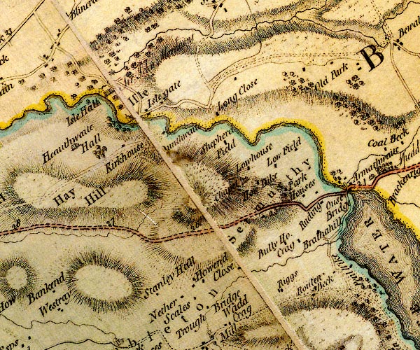
D4NY13SE.jpg
"Routen Beck"
block or blocks, labelled in lowercase; a hamlet or just a house
item:- Carlisle Library : Map 2
Image © Carlisle Library |
|
|
| places:- |
 |
NY19523043 Routenbeck Cruck Barn (Wythop) L out of sight |
|
|
 |
NY19593043 Orchard House (Wythop) |
|
|
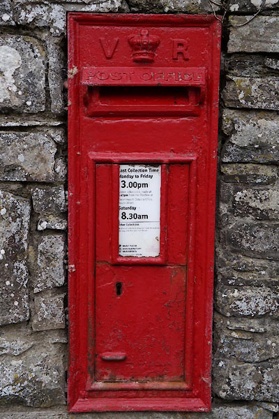 |
NY19563038 post box, Routenbeck (Wythop) |
|
|
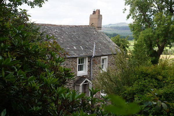 |
NY19533041 Routenbeck Cottage (Wythop) |
|
|
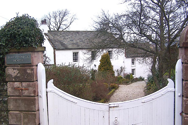 |
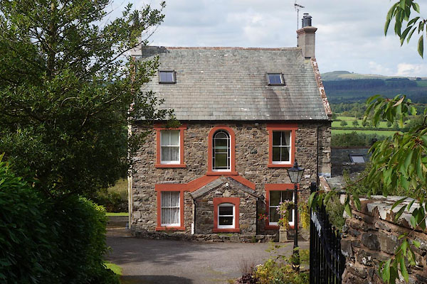
NY19563042 Routenbeck House (Wythop) L |
|
|
|
NY19473035 Sale Farm (Wythop) L |
|
|
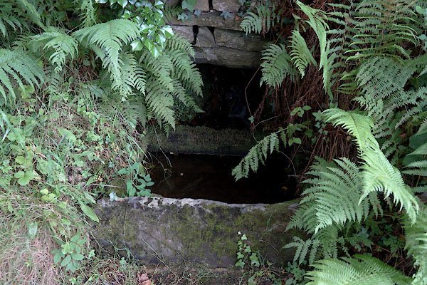 |
NY19503035 water trough, Routenbeck (Wythop) |
|
