 Old Cumbria Gazetteer
 |
 |
|
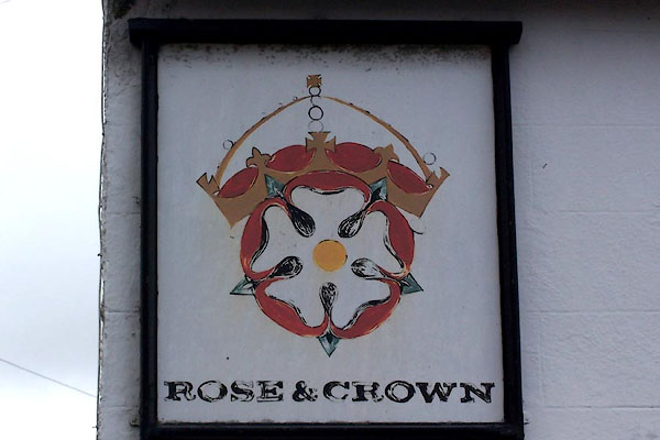
| Rose and Crown, Cark | ||
| Rose and Crown | ||
| locality:- | Cark | |
| civil parish:- | Lower Holker (formerly Lancashire) | |
| county:- | Cumbria | |
| locality type:- | inn | |
| coordinates:- | SD362766 | |
| 1Km square:- | SD3676 | |
| 10Km square:- | SD37 | |
|
|
||
 BLU26.jpg (taken 7.4.2006) 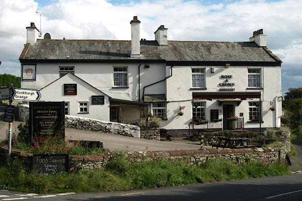 BXK06.jpg (taken 21.9.2012) |
||
|
|
||
| evidence:- | old map:- OS County Series (Lan 17 6) placename:- Rose and Crown Inn |
|
| source data:- | Maps, County Series maps of Great Britain, scales 6 and 25
inches to 1 mile, published by the Ordnance Survey, Southampton,
Hampshire, from about 1863 to 1948. |
|
|
|
||
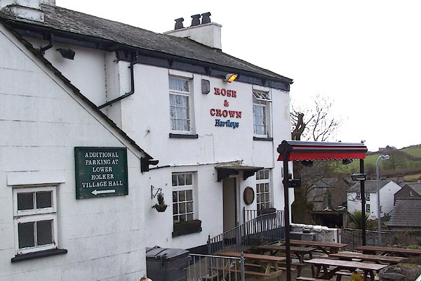 BLU25.jpg (taken 7.4.2006) |
||
|
|
||
 Lakes Guides menu.