 Old Cumbria Gazetteer
 |
 |
|
| Rooking, Patterdale | ||
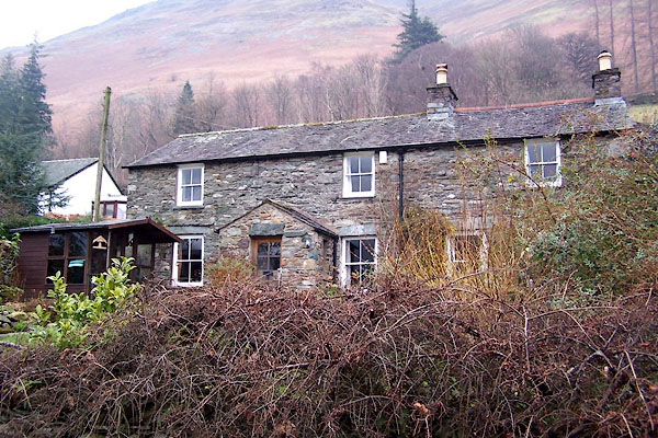
| Rooking | ||
| locality:- | Patterdale | |
| civil parish:- | Patterdale (formerly Westmorland) | |
| county:- | Cumbria | |
| locality type:- | buildings | |
| locality type:- | locality | |
| coordinates:- | NY40111591 | |
| 1Km square:- | NY4015 | |
| 10Km square:- | NY41 | |
|
|
||
 BLN63.jpg (taken 7.1.2006) |
||
|
|
||
| evidence:- | old map:- OS County Series (Wmd 12 11) placename:- Rooking |
|
| source data:- | Maps, County Series maps of Great Britain, scales 6 and 25
inches to 1 mile, published by the Ordnance Survey, Southampton,
Hampshire, from about 1863 to 1948. |
|
|
|
||
| notes:- |
There are several stones marked with cup and ring etc, on private land, about NY401160. |
|
| Becckensall, Stan: 2002: Prehistoric Rock Art in Cumbria: Tempus Publishing (Stroud,
Gloucestershire) |
||
|
|
||
 Lakes Guides menu.