 Old Cumbria Gazetteer
 |
 |
|
| Roger Howe, Tebay | ||
| Roger Howe | ||
| civil parish:- | Tebay (formerly Westmorland) | |
| county:- | Cumbria | |
| locality type:- | hill | |
| coordinates:- | NY61810306 (etc) | |
| 1Km square:- | NY6103 | |
| 10Km square:- | NY60 | |
| altitude:- | 1033 feet | |
| altitude:- | 315m | |
|
|
||
| evidence:- | old map:- OS County Series (Wmd 28 12) placename:- Roger Howe |
|
| source data:- | Maps, County Series maps of Great Britain, scales 6 and 25
inches to 1 mile, published by the Ordnance Survey, Southampton,
Hampshire, from about 1863 to 1948. |
|
|
|
||
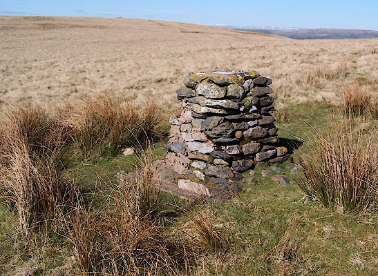 BWF48.jpg Mystery pillar, (taken 5.4.2012) 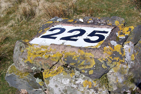 BWF49.jpg Mystery pillar, (taken 5.4.2012) |
||
| It's visible from the air? |
||
|
|
||
 Lakes Guides menu.