 |
 |
|
|
|
|
Roger Ground |
| civil parish:- |
Hawkshead (formerly Lancashire) |
| county:- |
Cumbria |
| locality type:- |
locality |
| locality type:- |
buildings |
| coordinates:- |
SD35079746 (etc) |
| 1Km square:- |
SD3597 |
| 10Km square:- |
SD39 |
|
|
| evidence:- |
old map:- OS County Series (Lan 5 2)
placename:- Roger Ground
|
| source data:- |
Maps, County Series maps of Great Britain, scales 6 and 25
inches to 1 mile, published by the Ordnance Survey, Southampton,
Hampshire, from about 1863 to 1948.
|
|
|
| places:- |
 |
SD35029748 Galloway Lane (Hawkshead) |
|
|
|
SD35349769 Hannakin (Hawkshead) |
|
|
 |
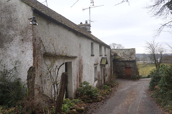
SD35069748 High Orchard (Hawkshead) |
|
|
|
SD35229715 Howe Farm (Hawkshead) |
|
|
 |
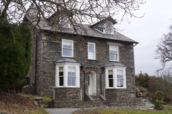
SD35119756 Roger Ground House (Hawkshead) L |
|
|
|
SD34979736 School Wood (Hawkshead) |
|
|
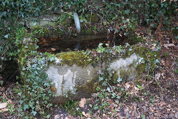 |
SD35079745 water trough, Roger Ground (Hawkshead) |
|
|
 |
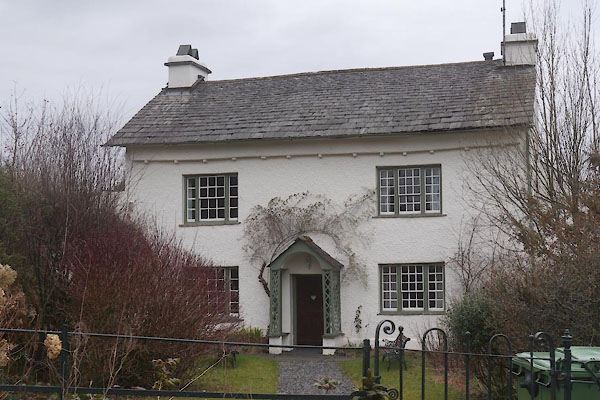
SD35099735 Wild Goose (Hawkshead) L |
|
|
|
SD35069740 Yew Bank (Hawkshead) |
|
|
|
SD35439744 limekiln, Roger Ground (Hawkshead) |
|
