Old Cumbria Gazetteer
 |
 |
|
||
| Roe Beck | ||||
| runs into:- |  Roe, River Roe, River |
|||
|
|
||||
| civil parish:- | Castle Sowerby (formerly Cumberland) | |||
| civil parish:- | Skelton (formerly Cumberland) | |||
| county:- | Cumbria | |||
| locality type:- | river | |||
| 1Km square:- | NY3942 (etc) | |||
| 10Km square:- | NY34 | |||
|
|
||||
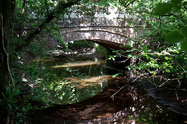
 CDM82.jpg At Roebanks Bridge,. (taken 3.7.2015)  BUC19.jpg At Skelton Woodend Bridge,. (taken 25.2.2011) |
||||
|
|
||||
| evidence:- | old map:- OS County Series (Cmd 38 7) placename:- Roe Beck |
|||
| source data:- | Maps, County Series maps of Great Britain, scales 6 and 25
inches to 1 mile, published by the Ordnance Survey, Southampton,
Hampshire, from about 1863 to 1948. OS County Series (Cmd 38 11) |
|||
|
|
||||
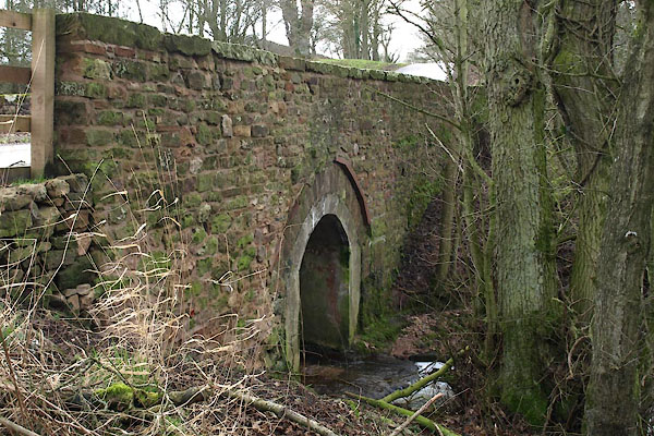
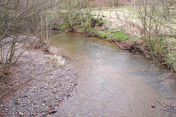 BNH88.jpg At High Bridge. (taken 9.3.2007) |
||||
|
|
||||
| places:- |
|
|||
|
||||
Lakes Guides menu.