


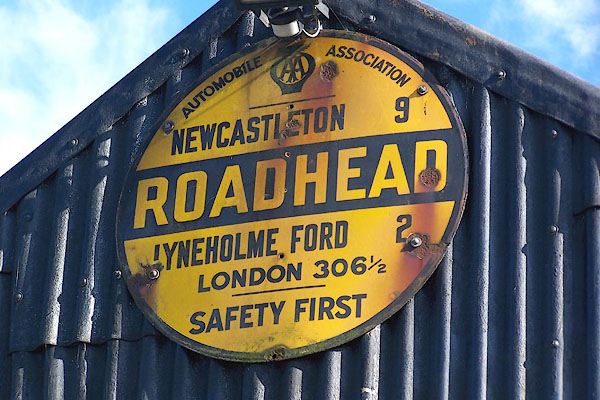
BMQ71.jpg AA village sign:-
"AUTOMOBILE ASSOCIATION [AA badge] / NEWCASTLETON 9 / ROADHEAD / LYNEHOLM FORD 2 / LONDON 306½/ SAFETY FIRST" On a shed by North Bank House.
(taken 15.9.2006)
placename:- Hillhead
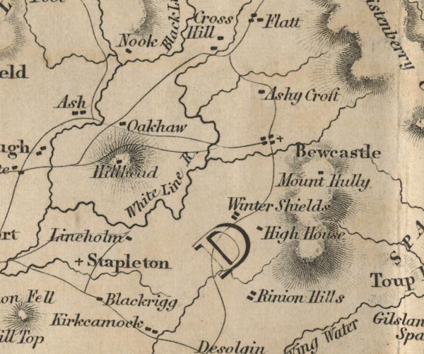
FD02NY57.jpg
"Hillhead"
Building on a hill.
item:- JandMN : 100.1
Image © see bottom of page
placename:- Roadhead
 click to enlarge
POF7Cm.jpg
"Roadhead"
map date 1909
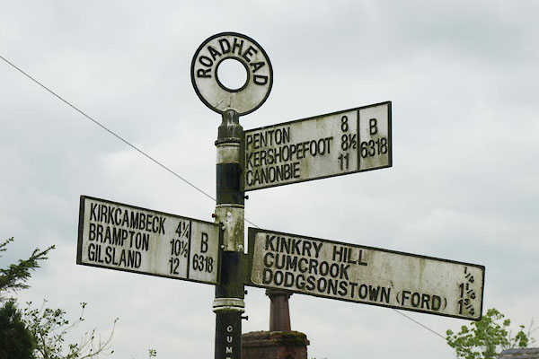 |
NY51707490 fingerpost, Roadhead (Bewcastle) |
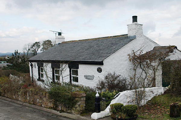 |
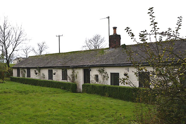
NY51547506 Kinkry Hill Cottage (Bewcastle) |
 |
NY51827508 Kinkry Hill Lodge (Nicholforest) |
 |
NY51427520 Kinkry Hill (Bewcastle) |
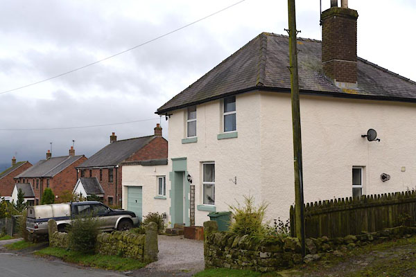 |
NY51887510 police house, Roadhead (Nicholforest) |
 |
NY52037527 Roughsike (Bewcastle) |
 |
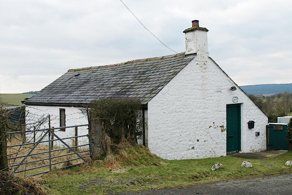
NY52137539 Roughsike (Bewcastle) |
 |
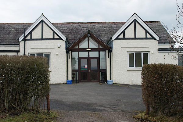
NY51487508 Roadhead School (Bewcastle) |
 |
NY52017533 village hall, Roadhead (Bewcastle) |
