 Old Cumbria Gazetteer
 |
 |
|
|
| road, St John's in the Vale | |||
| St John's in the Vale road | |||
| civil parish:- | St John's Castlerigg and Wythburn (formerly Cumberland) | ||
| county:- | Cumbria | ||
| locality type:- | route | ||
| 10Km square:- | NY32 | ||
| SummaryText:- | From the Ambleside to Keswick road, at Sty Beck, to the Penrith to Keswick road near Threlkeld. | ||
|
|
|||
| evidence:- | old map:- Clarke 1787 map (Ambleside to Keswick) |
||
| source data:- | Map, A Map of the Roads Lakes etc between Keswick and Ambleside,
scale about 2.5 ins to 1 mile, by James Clarke, engraved by S J
Neele, 352 Strand, published by James Clarke, Penrith,
Cumberland and in London etc, 1787.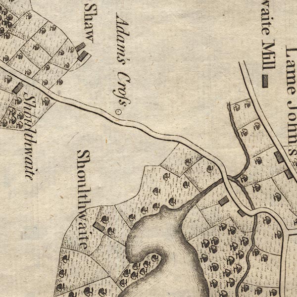 CL9NY31E.jpg 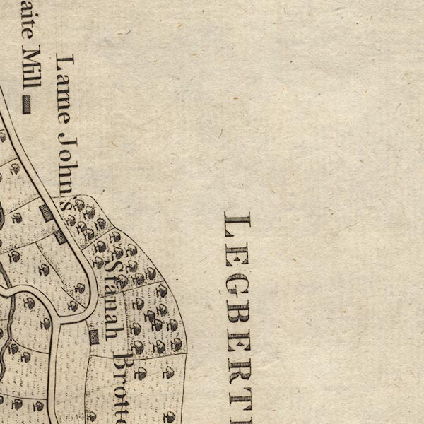 CL9NY31J.jpg item:- private collection : 10.9 Image © see bottom of page |
||
|
|
|||
| places:- |  Threlkeld Legburthwaite, St John's Castlerigg etc Threlkeld Legburthwaite, St John's Castlerigg etc |
||
|
|
|||
Lakes Guides menu.