 Old Cumbria Gazetteer
 |
 |
|
| Roa Island, Barrow-in-Furness | ||
| Roa Island | ||
| civil parish:- | Barrow-in-Furness (formerly Lancashire) | |
| county:- | Cumbria | |
| locality type:- | island | |
| coordinates:- | SD23256491 (etc) | |
| 1Km square:- | SD2364 | |
| 10Km square:- | SD26 | |
|
|
||
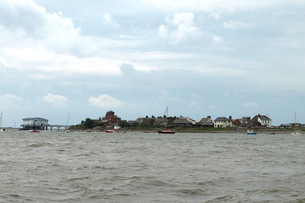 BPP49.jpg From the causeway. (taken 16.8.2008) 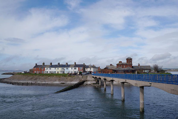 CAG02.jpg From the lifeboat station. (taken 4.4.2014) |
||
|
|
||
| evidence:- | old map:- OS County Series (Lan 28 1) placename:- Roa Island |
|
| source data:- | Maps, County Series maps of Great Britain, scales 6 and 25
inches to 1 mile, published by the Ordnance Survey, Southampton,
Hampshire, from about 1863 to 1948. |
|
|
|
||
| evidence:- | old text:- Mackenzie 1776 placename:- Ro Island |
|
| source data:- | Charts, and sailing directions, Nautical Descriptions of the
West Coast of Great Britain, Bristol Channel to Cape Wrath, by
Murdoch Mackenzie, published London, 1776. goto source goto sourcePage 18:- "... ..." "To sail into Piel-of-Foudray from the S.; first ... or come to an anchor farther up, on the W. or N.W. side of Ro Island, about half a cable's-length from the high-water mark, and ride, or moor, with no more than half a cable out." "To sail into Piel-of-Foudray from the N.; ... anchor in the bight, or near Ro Island, as directed in the preceding paragraph." |
|
|
|
||
| evidence:- | old map:- Garnett 1850s-60s H |
|
| source data:- | Map of the English Lakes, in Cumberland, Westmorland and
Lancashire, scale about 3.5 miles to 1 inch, published by John
Garnett, Windermere, Westmorland, 1850s-60s.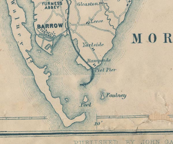 GAR2SD26.jpg island item:- JandMN : 82.1 Image © see bottom of page |
|
|
|
||
| evidence:- | old text:- Admiralty 1933 placename:- Roa Island item:- Piel Village; pilot, Barrow Docks |
|
| source data:- | goto source Page 376:- "Roa island is connected to the mainland northward of it by a railway embankment. A rubble causeway, which is awash at high water springs, connects Foulney island to this embankment. The village of Piel, in which the pilots reside, stands on this island. A wooden boat slip extends southward from the island." "..." "There is a landing pier on the eastern side of Piel island." goto sourcePage 364:- "The Trinity House pilots for Barrow mostly reside on Roa island; telegraphic messages should be addressed to "Pilot station, Barrow."" |
|
|
|
||
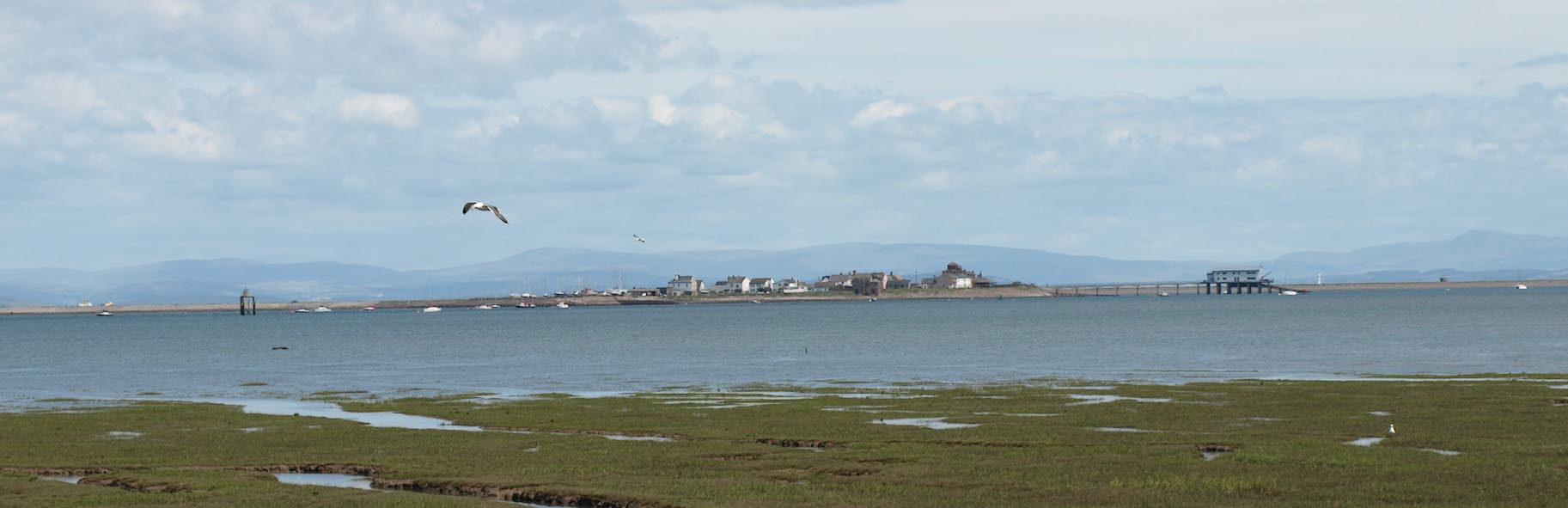 Click to enlarge BUW03.jpg From Walney Island. (taken 1.7.2011) 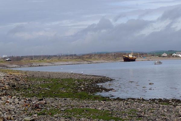 CAG07.jpg East of the Roa Island Road; the map says 'Sand and Mud'. (taken 1.7.2011) |
||
|
|
||
Lakes Guides menu.