 Old Cumbria Gazetteer
 |
 |
|
| Rise Hill, Garsdale | ||
| Rise Hill | ||
| civil parish:- | Garsdale (formerly Yorkshire) | |
| civil parish:- | Dent (formerly Yorkshire) | |
| county:- | Cumbria | |
| locality type:- | hill | |
| coordinates:- | SD73448839 (etc) | |
| 1Km square:- | SD7388 | |
| 10Km square:- | SD78 | |
|
|
||
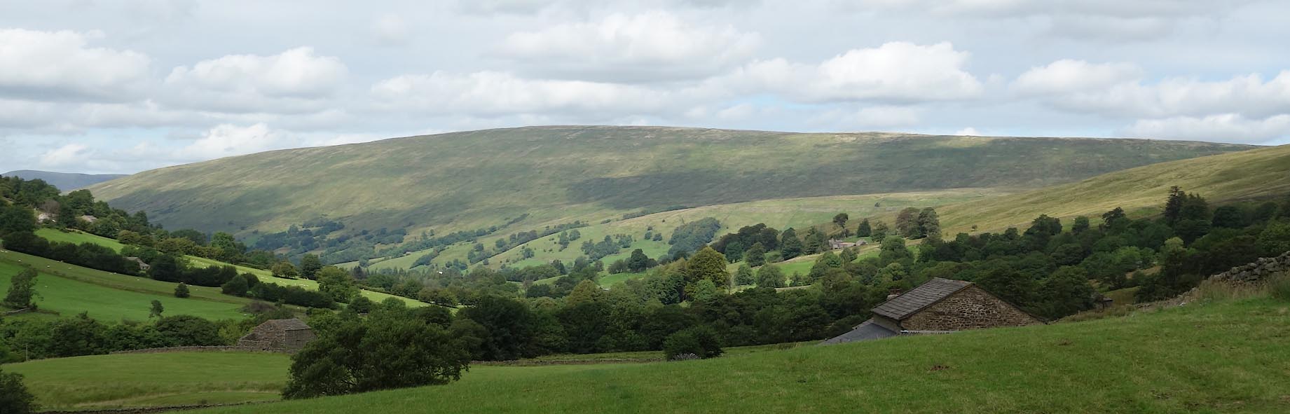 Click to enlarge CDT79.jpg from Deepdale. (taken 25.8.2015) 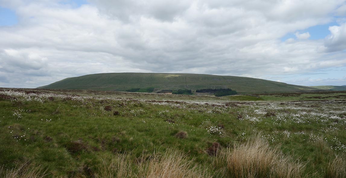 Click to enlarge BYQ11.jpg (taken 25.6.2013) |
||
|
|
||
| evidence:- | perhaps old map:- Simpson 1746 map (Wmd) placename:- Mardile |
|
| source data:- | Map, uncoloured engraving, Westmorland, scale about 8 miles to 1
inch, printed by R Walker, Fleet Lane, London, 1746.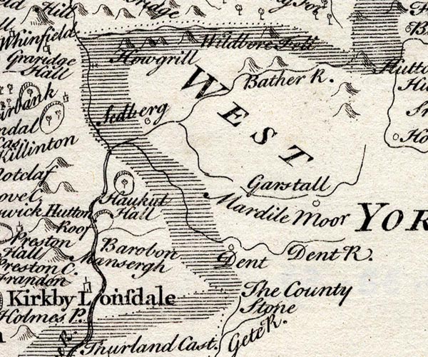 SMP2SDU.jpg "Mardile" Area. item:- Dove Cottage : 2007.38.59 Image © see bottom of page |
|
|
|
||
| evidence:- | old map:- Balderston c1890 map placename:- Rise Hill |
|
| source data:- | Map, the hills in the Ingleton area, probably by Robert R
Balderston, engraved by Goodall and Suddick, Leeds, West
Yorkshire, about 1890.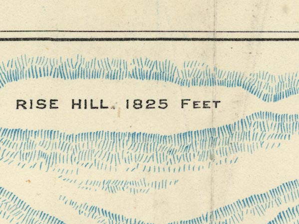 BS1SD78J.jpg "RISE HILL. 1825 FEET" item:- private collection : 27.1 Image © see bottom of page |
|
|
|
||
 Lakes Guides menu.