 Old Cumbria Gazetteer
 |
 |
|
| Rigmaden Farm, Mansergh | ||
| Rigmaden Farm | ||
| civil parish:- | Mansergh (formerly Westmorland) | |
| county:- | Cumbria | |
| locality type:- | buildings | |
| coordinates:- | SD61238526 | |
| 1Km square:- | SD6185 | |
| 10Km square:- | SD68 | |
|
|
||
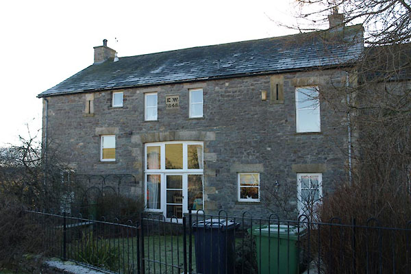 BTZ02.jpg (taken 28.1.2011) 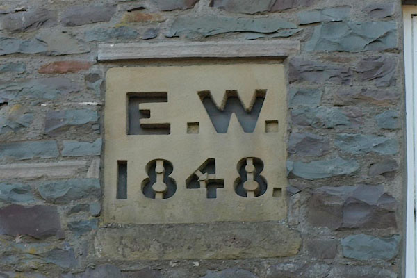 BTZ03.jpg Date stone:- "E. W. / 1848." (taken 28.1.2011) |
||
|
|
||
| evidence:- | old map:- OS County Series (Wmd 43 8) placename:- Rigmaden Farm |
|
| source data:- | Maps, County Series maps of Great Britain, scales 6 and 25
inches to 1 mile, published by the Ordnance Survey, Southampton,
Hampshire, from about 1863 to 1948. |
|
|
|
||
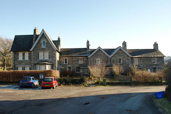 BTZ01.jpg Estate houses? (taken 28.1.2011) |
||
|
|
||
 Lakes Guides menu.