 Old Cumbria Gazetteer
 |
 |
|
| Ribton House, Camerton | ||
| Ribton House | ||
| locality:- | Ribton | |
| civil parish:- | Camerton (formerly Cumberland) | |
| county:- | Cumbria | |
| locality type:- | buildings | |
| coordinates:- | NY05123077 | |
| 1Km square:- | NY0530 | |
| 10Km square:- | NY03 | |
|
|
||
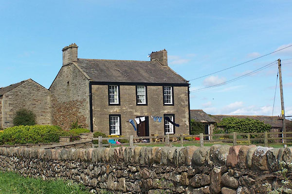 BNR12.jpg (taken 14.5.2007) |
||
|
|
||
| evidence:- | old map:- OS County Series (Cmd 54 1) placename:- Ribton House |
|
| source data:- | Maps, County Series maps of Great Britain, scales 6 and 25
inches to 1 mile, published by the Ordnance Survey, Southampton,
Hampshire, from about 1863 to 1948. |
|
|
|
||
| evidence:- | database:- Listed Buildings 2010 |
|
| source data:- | courtesy of English Heritage "RIBTON HOUSE AND ADJOINING BARN / / / CAMERTON / ALLERDALE / CUMBRIA / II / 72228 / NY0505630721" |
|
|
|
||
 Lakes Guides menu.