 Old Cumbria Gazetteer
 |
 |
|
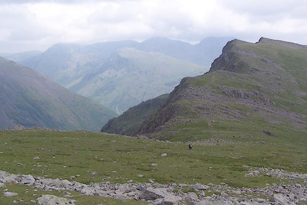
| Red Pike, Nether Wasdale | ||
| Red Pike | ||
| civil parish:- | Nether Wasdale (formerly Cumberland) | |
| county:- | Cumbria | |
| locality type:- | hill | |
| coordinates:- | NY165106 | |
| 1Km square:- | NY1610 | |
| 10Km square:- | NY11 | |
|
|
||
 BTF04.jpg (taken 13.7.2010) 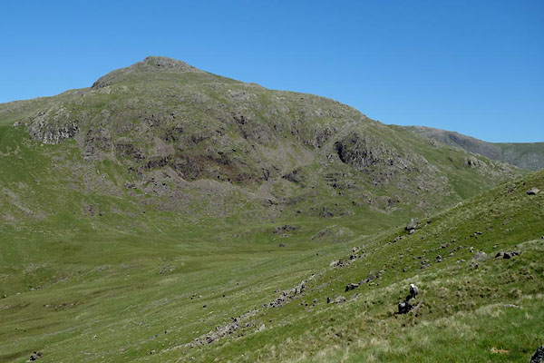 BYO65.jpg (taken 18.6.2013) |
||
|
|
||
| evidence:- | old map:- OS County Series (Cmd 74 6) placename:- Red Pike |
|
| source data:- | Maps, County Series maps of Great Britain, scales 6 and 25
inches to 1 mile, published by the Ordnance Survey, Southampton,
Hampshire, from about 1863 to 1948. |
|
|
|
||
| evidence:- | old map:- Garnett 1850s-60s H placename:- Red Pike |
|
| source data:- | Map of the English Lakes, in Cumberland, Westmorland and
Lancashire, scale about 3.5 miles to 1 inch, published by John
Garnett, Windermere, Westmorland, 1850s-60s.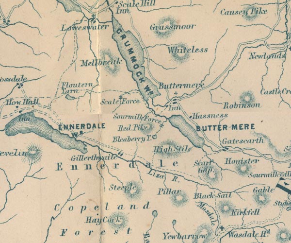 GAR2NY11.jpg "Red Pike" hill hachuring item:- JandMN : 82.1 Image © see bottom of page |
|
|
|
||
 Lakes Guides menu.