 Old Cumbria Gazetteer
 |
 |
|
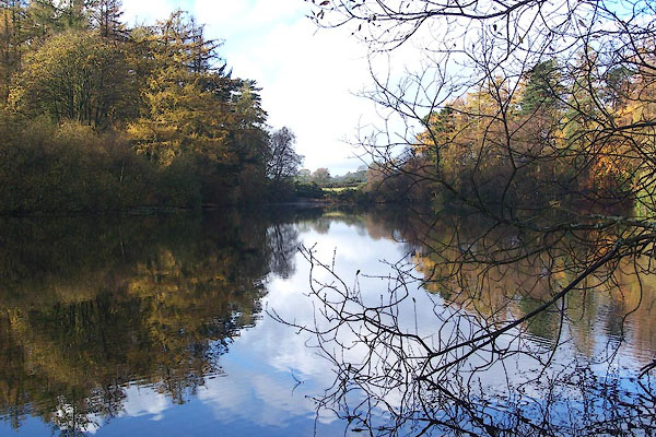
| Ratherheath Tarn, Strickland Ketel | ||
| Ratherheath Tarn | ||
| locality:- | Rather Heath | |
| civil parish:- | Strickland Ketel (formerly Westmorland) | |
| county:- | Cumbria | |
| locality type:- | tarn | |
| locality type:- | fish pond | |
| coordinates:- | SD48439585 (etc) | |
| 1Km square:- | SD4895 | |
| 10Km square:- | SD49 | |
| altitude:- | 347 feet | |
| altitude:- | 106m | |
|
|
||
 BJZ42.jpg (taken 9.11.2005) |
||
|
|
||
 Lakes Guides menu.