 Old Cumbria Gazetteer
 |
 |
|
| Randygill Top, Ravenstonedale | ||
| Randygill Top | ||
| locality:- | Ravenstonedale Common | |
| civil parish:- | Ravenstonedale (formerly Westmorland) | |
| county:- | Cumbria | |
| locality type:- | hill | |
| coordinates:- | NY68710004 | |
| 1Km square:- | NY6800 | |
| 10Km square:- | NY60 | |
| altitude:- | 2047 feet | |
| altitude:- | 624m | |
|
|
||
| evidence:- | old map:- OS County Series (Wmd 35 3) placename:- Randygill Top |
|
| source data:- | Maps, County Series maps of Great Britain, scales 6 and 25
inches to 1 mile, published by the Ordnance Survey, Southampton,
Hampshire, from about 1863 to 1948. |
|
|
|
||
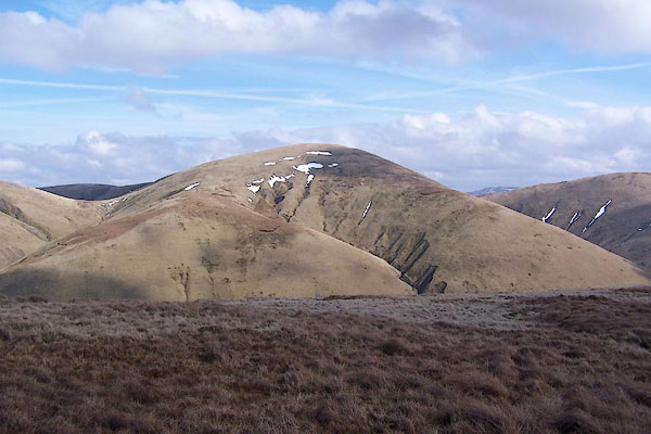 BSH80.jpg (taken 16.3.2010) 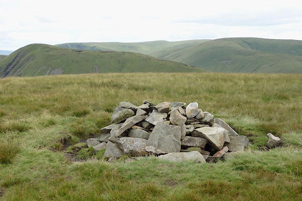 BZA19.jpg Cairn. (taken 6.8.2013) |
||
|
|
||
 Lakes Guides menu.