 Old Cumbria Gazetteer
 |
 |
|
| Rampsgill Beck | ||
| runs into:- |  Howegrain Beck Howegrain Beck |
|
|
|
||
| locality:- | Ramps Gill | |
| locality:- | Martindale | |
| civil parish:- | Martindale (formerly Westmorland) | |
| county:- | Cumbria | |
| locality type:- | river | |
| 1Km square:- | NY4315 (etc) | |
| 10Km square:- | NY41 | |
|
|
||
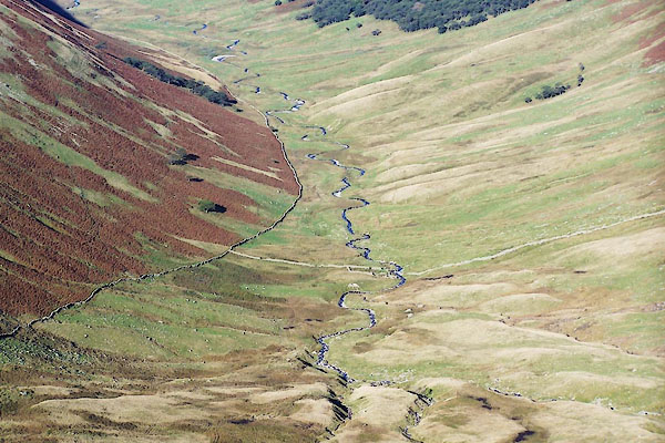 BTS76.jpg (and a sheepfold at NY43961434.) (taken 20.10.2010) |
||
|
|
||
| evidence:- | old map:- OS County Series (Wmd 13 9) placename:- Rampsgill Beck |
|
| source data:- | Maps, County Series maps of Great Britain, scales 6 and 25
inches to 1 mile, published by the Ordnance Survey, Southampton,
Hampshire, from about 1863 to 1948. |
|
|
|
||
| evidence:- | old map:- Jansson 1646 |
|
| source data:- | Map, hand coloured engraving, Cumbria and Westmoria, ie
Cumberland and Westmorland, scale about 3.5 miles to 1 inch, by
John Jansson, Amsterdam, Netherlands, 1646.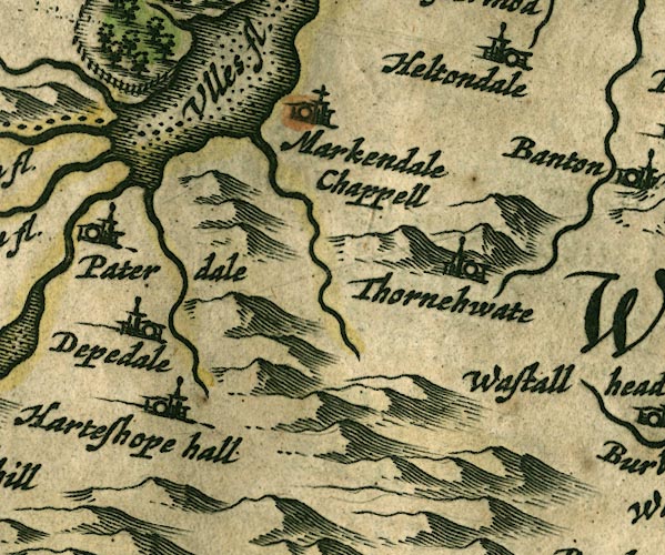 JAN3NY41.jpg Single wiggly line. item:- JandMN : 88 Image © see bottom of page |
|
|
|
||
| evidence:- | old map:- Jefferys 1770 (Wmd) |
|
| source data:- | Map, 4 sheets, The County of Westmoreland, scale 1 inch to 1
mile, surveyed 1768, and engraved and published by Thomas
Jefferys, London, 1770.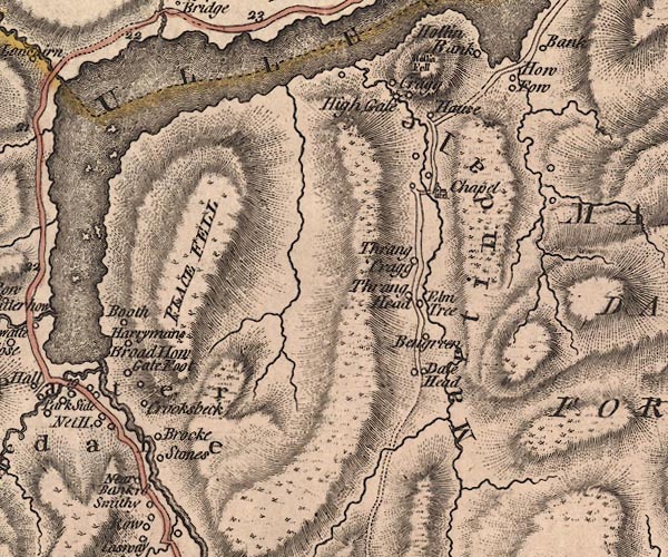 J5NY41NW.jpg single or double wiggly line; river item:- National Library of Scotland : EME.s.47 Image © National Library of Scotland |
|
|
|
||
| evidence:- | old map:- West 1784 map |
|
| source data:- | Map, hand coloured engraving, A Map of the Lakes in Cumberland,
Westmorland and Lancashire, scale about 3.5 miles to 1 inch,
engraved by Paas, 53 Holborn, London, about 1784.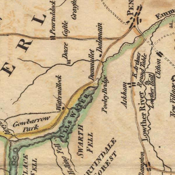 Ws02NY42.jpg item:- Armitt Library : A1221.1 Image © see bottom of page |
|
|
|
||
Lakes Guides menu.