 Old Cumbria Gazetteer
 |
 |
|
| Rainsborrow Crag, Kentmere | ||
| Rainsborrow Crag | ||
| civil parish:- | Kentmere (formerly Westmorland) | |
| county:- | Cumbria | |
| locality type:- | rocks | |
| locality type:- | cirque | |
| coordinates:- | NY44310680 (etc) | |
| 1Km square:- | NY4406 | |
| 10Km square:- | NY40 | |
|
|
||
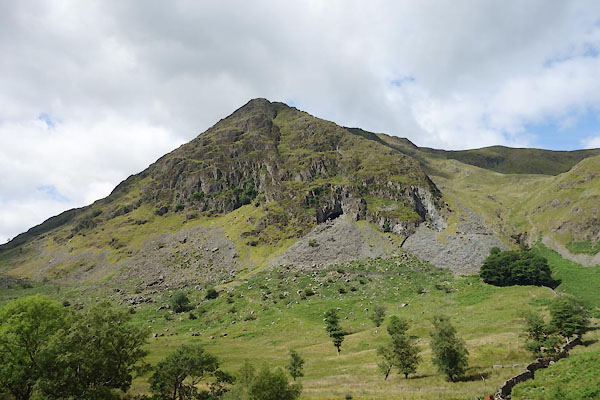 CBD83.jpg (taken 15.7.2014) 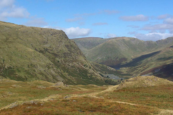 BRK13.jpg Rainsborrow Crag, and upper Kentmere valley. (taken 9.9.2009) |
||
|
|
||
| evidence:- | old map:- OS County Series (Wmd 27 1) placename:- Rainsborrow Crag |
|
| source data:- | Maps, County Series maps of Great Britain, scales 6 and 25
inches to 1 mile, published by the Ordnance Survey, Southampton,
Hampshire, from about 1863 to 1948. |
|
|
|
||
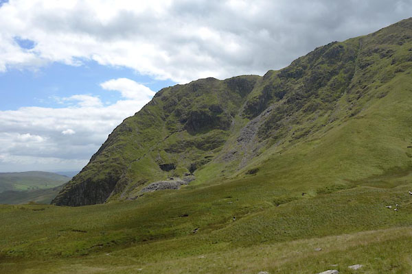 CBD90.jpg (taken 15.7.2014) 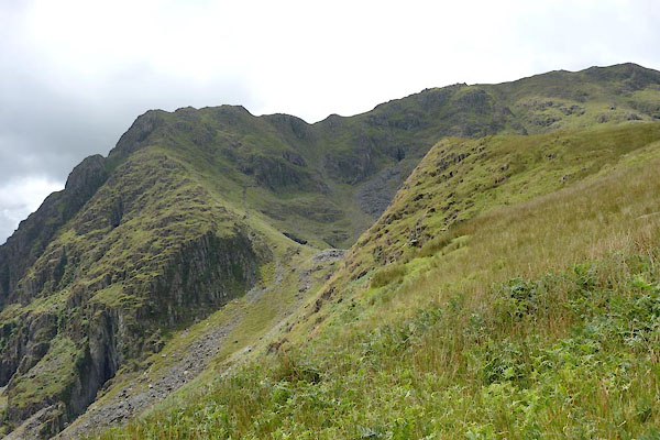 CBD91.jpg (taken 15.7.2014) 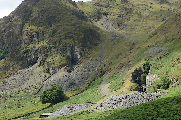 CBD84.jpg Quarries. (taken 15.7.2014) 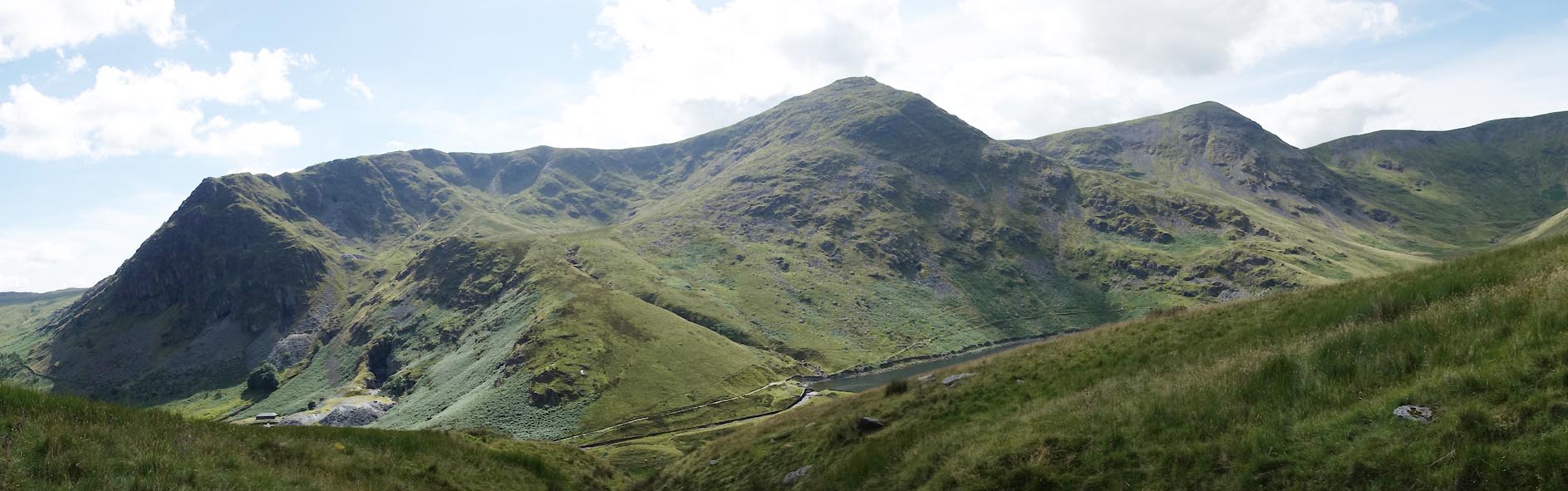 Click to enlarge CBE01.jpg Rainsborrow Crag and Cove, Ill Bell, Froswick. (taken 15.7.2014) 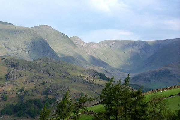 BMF58.jpg Rainsborrow Crag, Ill Bell, Froswick, and High Street, above Kentmere Valley (and a little vertical exageration). (taken 4.6.2006) 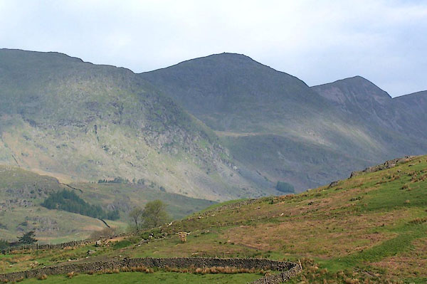 BMF59.jpg Rainsborrow Crag, Ill Bell, and Froswick. (taken 4.6.2006) |
||
|
|
||
 Lakes Guides menu.